Knob Creek Acres

Chapters · 9

  1. 01Ancient times to 1807Before the deedsLimestone laid down in an ancient sea, a creek that cut a hollow into the edge of the Highland Rim, and two Native nations whose claims ended with treaties in 1805 and 1806.
  2. 021806 to 1860Settlers on Knob CreekRevolutionary veterans, a Baptist preacher named Hanks, a congregation that argued its way into the missionary camp, and the enslaved people whose labor the new farms relied on.
  3. 031861 to 1865War comes up the pikeUnion troops held Columbia for most of the war. In November 1864 John Bell Hood's army marched up the pike through Maury County, missed its chance at Spring Hill, and broke itself at Franklin.
  4. 041865 to 1935Mules and phosphateAfter the war, freed people built churches, schools and neighborhoods while white Tennessee built segregation. Columbia became the mule market of the South, and phosphate found near Knob Creek started a mining boom.
  5. 051901 to 1945The hollow on paperFederal mapmakers draw the hollow again and again, from a rough 1901 sketch to the detailed TVA survey of 1936, and the open strip up the middle is already there.
  6. 061868 to 2026The HendleysA Maury County farm family loses a son on Saipan, raises another who comes home from the Navy, works at Monsanto and spends half a century on Knob Creek Road.
  7. 071936 to 2000Columbia changesChemical plants turned phosphate into paychecks. In February 1946 a fight in a downtown store became a night of terror in Mink Slide and a national civil rights case. Then came the interstate, a community college, and Saturn.
  8. 081960 to 2026Franklin's boomFranklin was a county seat of under 7,000 people in 1960. The interstate, a shopping mall and corporate headquarters made it one of the fastest-growing cities in the country, and the growth is now rolling south into Spring Hill and Columbia.
  9. 092026You are hereThe newest owners take the keys to a 1965 brick ranch and a long hay strip up the hollow, and start the next chapter by fixing up what the Hendleys left.

SourcesImage creditsAbout

Knob Creek Acres · Credits

Image credits

Every map, aerial and photograph on this site, grouped by the collection it came from. Federal works are in the public domain; other items are used under the license shown.

Library of Congress, Geography and Map Division (via Wikimedia Commons) 3
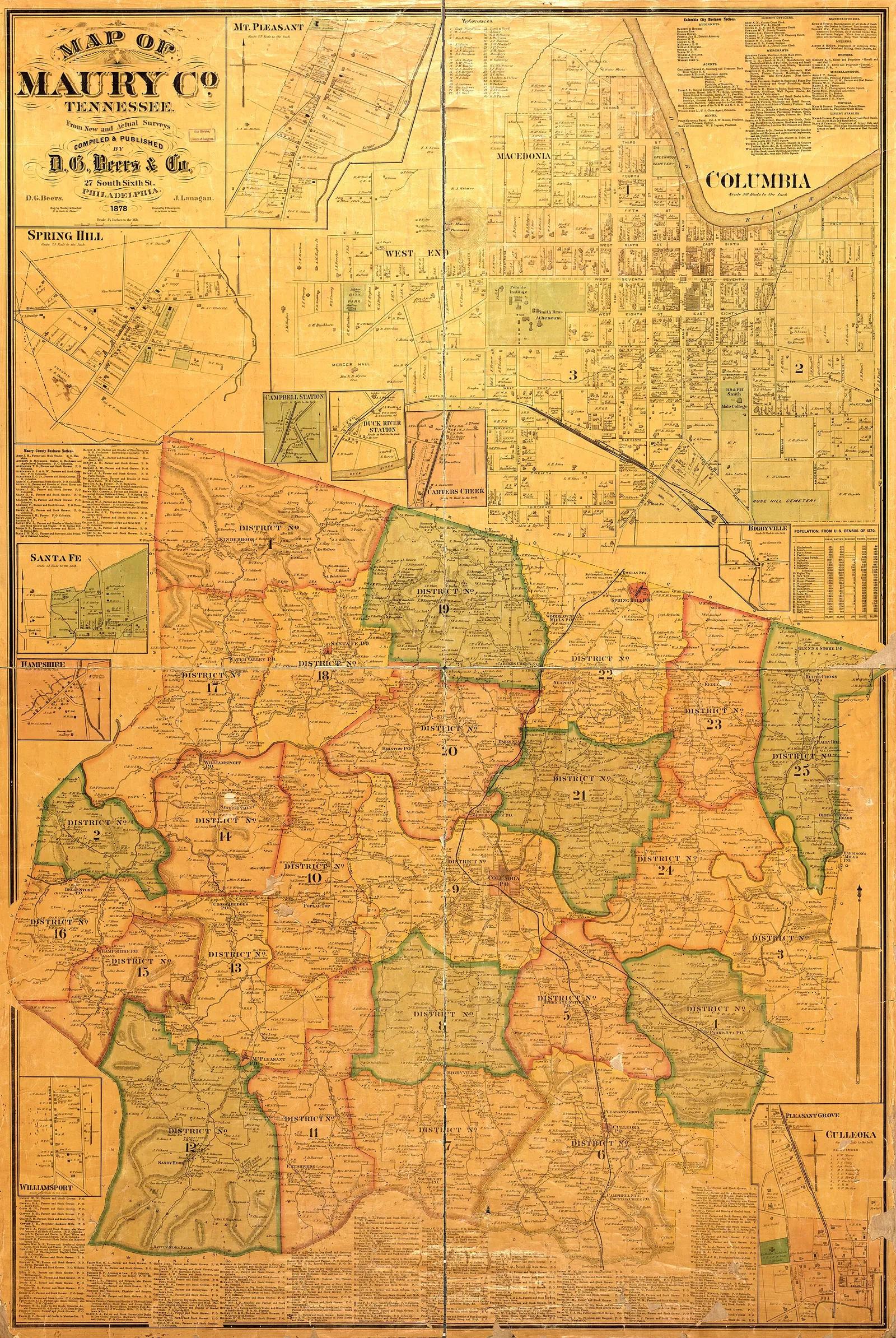
  • Map of Maury County, Tennessee, from new and actual surveys (with Columbia and town insets)

    Map of Maury County, Tennessee, from new and actual surveys (with Columbia and town insets)

    Date
    1878
    Creator
    D. G. Beers & Co.
    ID
    File:Map of Maury Co., Tennessee - from new and actual surveys LOC 2009579455.jpg
    License
    Public domain
    Source
    commons.wikimedia.org

    Downloaded from Wikimedia Commons, resized to 1600 px wide and converted to WebP by Pyxl Design.
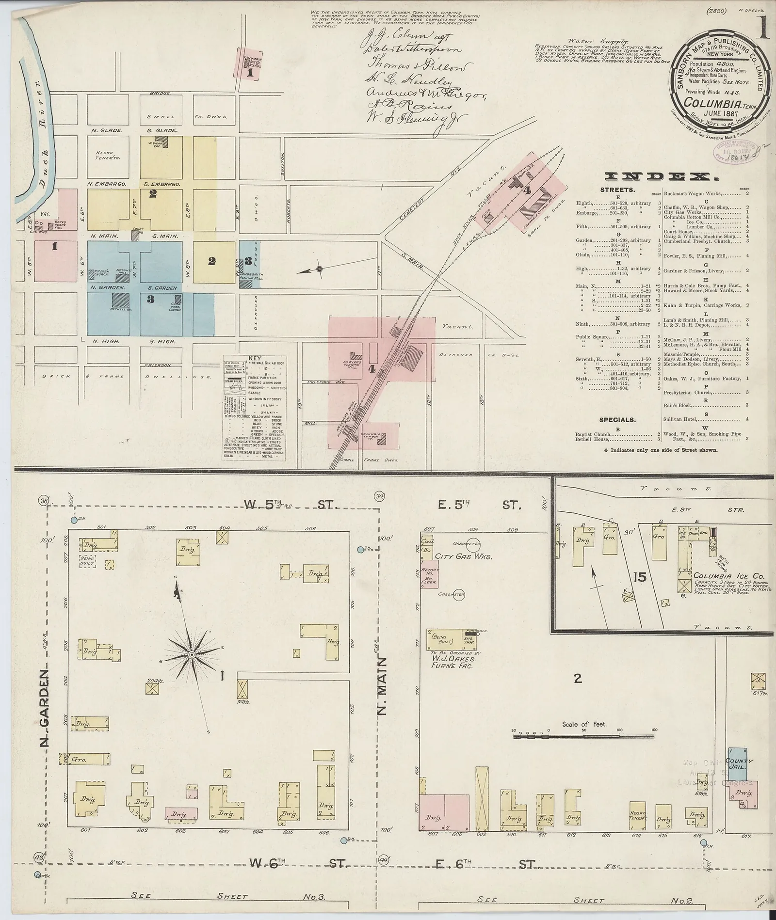
  • Sanborn fire insurance map of Columbia, sheet 1 (courthouse square)

    Sanborn fire insurance map of Columbia, sheet 1 (courthouse square)

    Date
    June 1887
    Creator
    Sanborn Map Company
    ID
    File:Sanborn Fire Insurance Map from Columbia, Maury County, Tennessee. LOC sanborn08296 001-1.jpg
    License
    Public domain
    Source
    commons.wikimedia.org

    Downloaded from Wikimedia Commons, resized to 1600 px wide and converted to WebP by Pyxl Design.
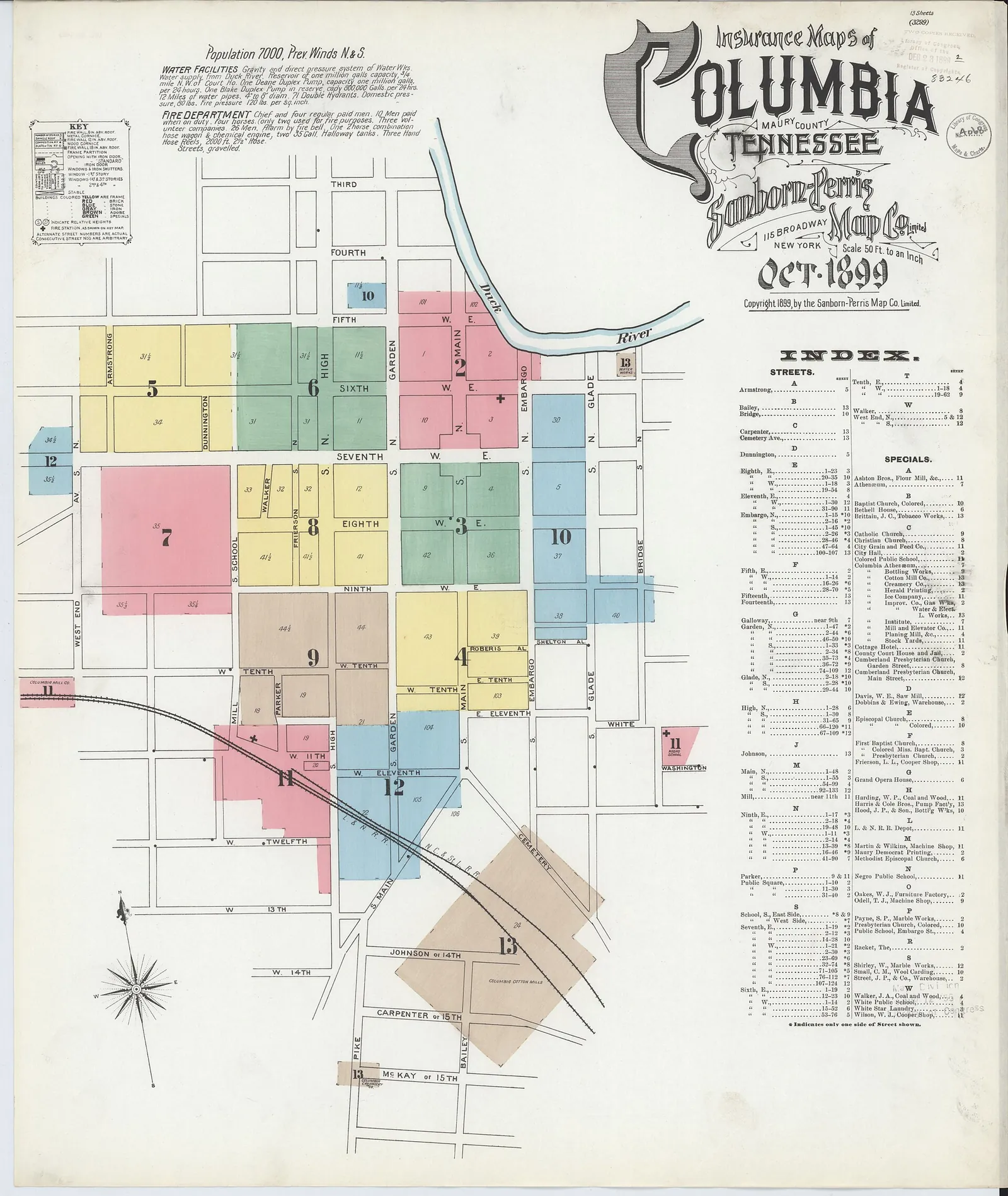
  • Sanborn fire insurance map of Columbia, sheet 1

    Sanborn fire insurance map of Columbia, sheet 1

    Date
    October 1899
    Creator
    Sanborn Map Company
    ID
    File:Sanborn Fire Insurance Map from Columbia, Maury County, Tennessee. LOC sanborn08296 004-1.jpg
    License
    Public domain
    Source
    commons.wikimedia.org

    Downloaded from Wikimedia Commons, resized to 1600 px wide and converted to WebP by Pyxl Design.

Library of Congress, Historic American Buildings Survey (HABS) (via Wikimedia Commons) 3
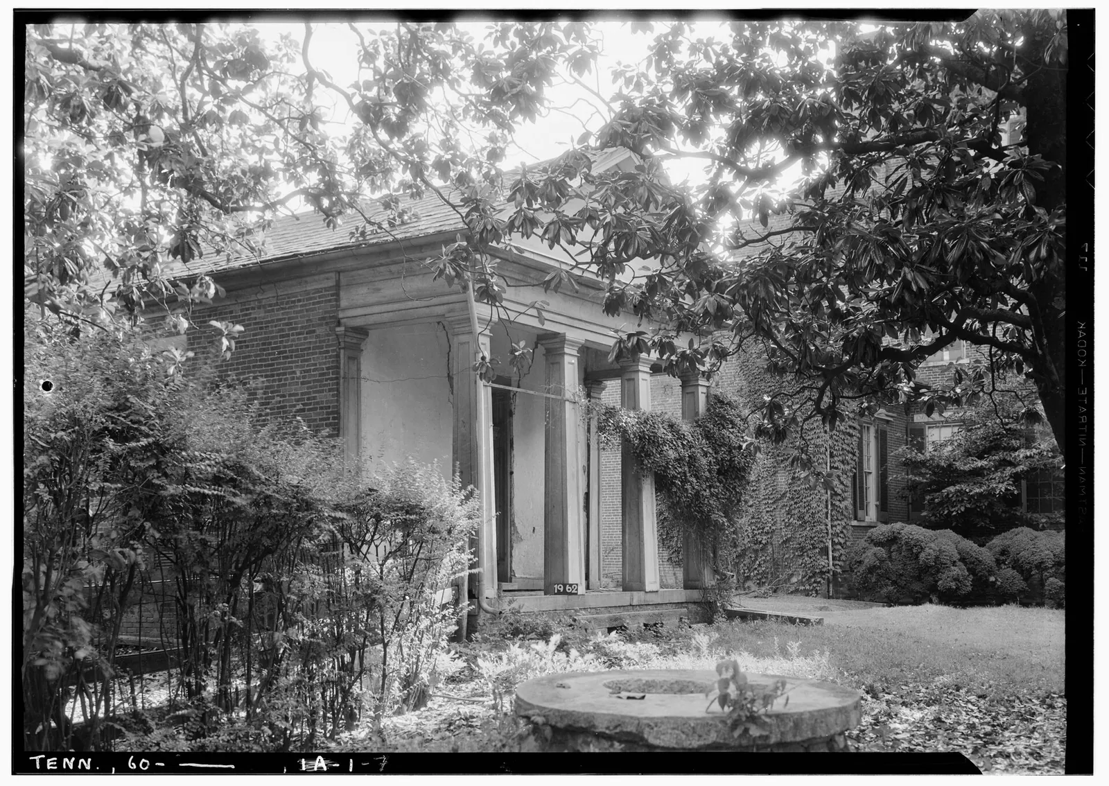
  • Clifton Place, near Columbia: the building HABS recorded as the slave quarters and business office

    Clifton Place, near Columbia: the building HABS recorded as the slave quarters and business office

    Date
    1936-06-06
    Creator
    W. Jeter Eason, HABS
    ID
    File:Historic American Buildings Survey, W. Jeter Eason, Deputy District Officer, Photographer June 6, 1936 DETAIL OF SLAVE AND BUSINESS OFFICE (WEST ELEVATION). - Clifton Place, HABS TENN,60-COLUM.V,1-7.tif
    License
    Public domain
    Source
    commons.wikimedia.org

    Downloaded from Wikimedia Commons, resized to 1600 px wide and converted to WebP by Pyxl Design.
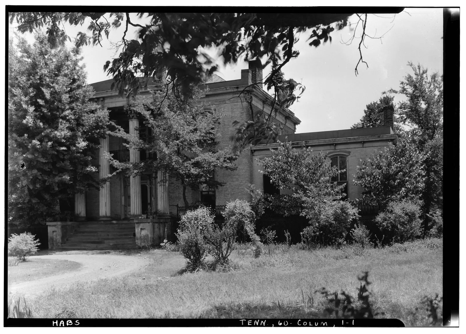
  • Mercer Hall, Columbia, front (west) elevation

    Mercer Hall, Columbia, front (west) elevation

    Date
    1936-06-06
    Creator
    W. Jeter Eason, HABS
    ID
    File:Historic American Buildings Survey, W. Jeter Eason, Deputy District Officer, Photographer June 6, 1936 DETAIL OF FRONT OR WEST ELEVATION. - Mercer Hall, Columbia, Maury County, HABS TENN,60-COLUM,1-1.tif
    License
    Public domain
    Source
    commons.wikimedia.org

    Downloaded from Wikimedia Commons, resized to 1600 px wide and converted to WebP by Pyxl Design.
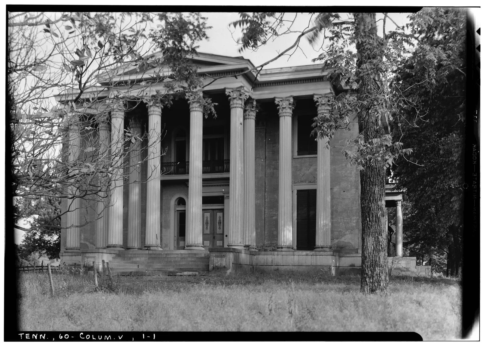
  • Rattle and Snap, built for George Polk, front elevation

    Rattle and Snap, built for George Polk, front elevation

    Date
    1936-06-06
    Creator
    W. Jeter Eason, HABS
    ID
    File:Historic American Buildings Survey, W. Jeter Eason, Deputy District Officer, Photographer June 6, 1936 DETAIL OF FRONT OR WEST ELEVATION. - Rattle and Snap, U.S. Route 43 HABS TENN,60-COLUM.V,2-1.tif
    License
    Public domain
    Source
    commons.wikimedia.org

    Downloaded from Wikimedia Commons, resized to 1600 px wide and converted to WebP by Pyxl Design.

Tennessee State Library and Archives, Looking Back at Tennessee Photograph Collection, 1890-1981 (TeVA) 11
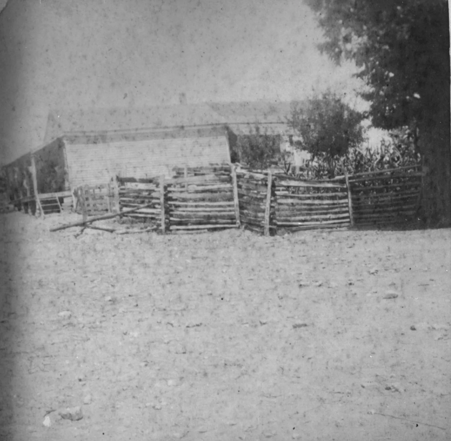
  • Alex Black's store near Leipers Fork, Williamson County

    Alex Black's store near Leipers Fork, Williamson County

    Date
    1898
    Creator
    Unknown photographer
    ID
    p15138coll50/6585
    License
    Public domain (created about 1900 or earlier by an unidentified photographer; U.S. copyright term has expired). TeVA rights field: Copyright not evaluated.
    Source
    cdm15138.contentdm.oclc.org

    TSLA ID 13018. Cropped to one frame of TSLA's copy negative (film border removed), resized to 1600 px and converted to WebP by Pyxl Design. Credit line: Courtesy of the Tennessee State Library & Archives.
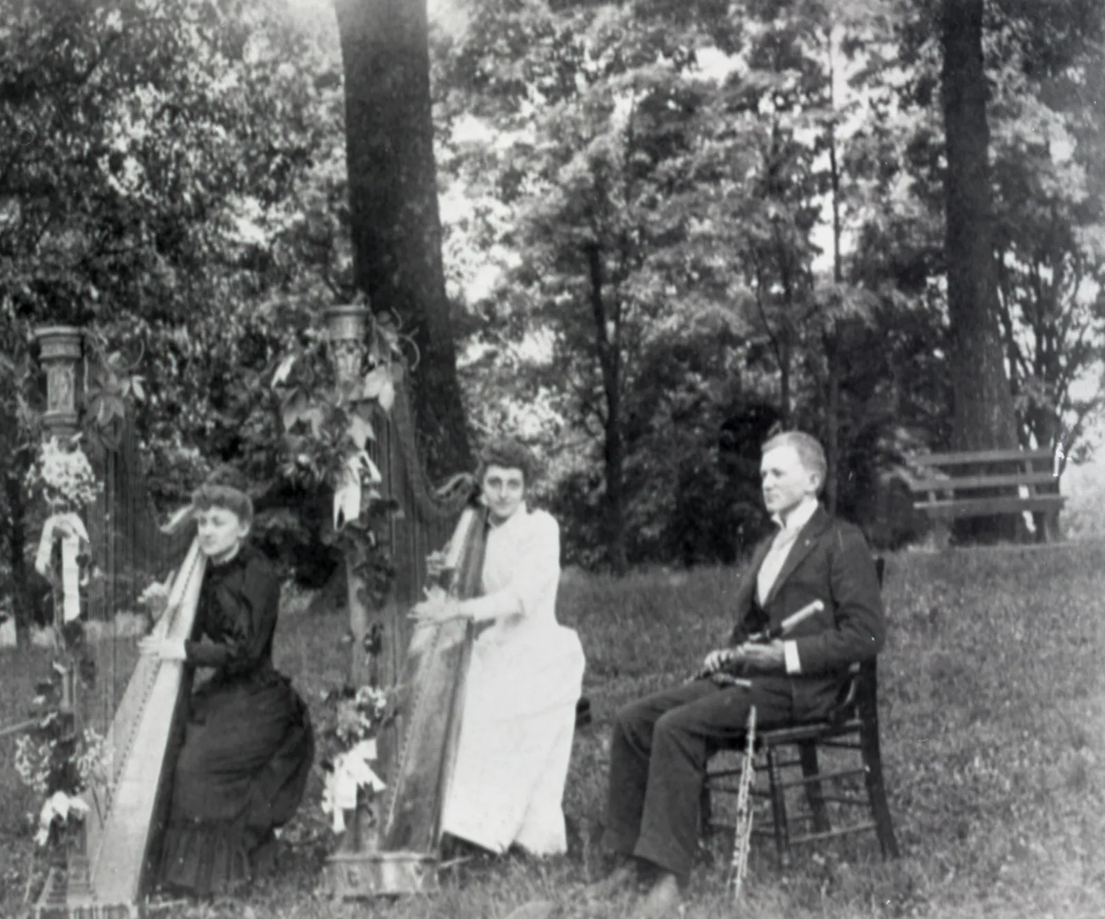
  • Athenaeum College, Columbia

    Athenaeum College, Columbia

    Date
    about 1900
    Creator
    Unknown photographer
    ID
    p15138coll50/660
    License
    Public domain (created about 1900 or earlier by an unidentified photographer; U.S. copyright term has expired). TeVA rights field: Copyright not evaluated.
    Source
    cdm15138.contentdm.oclc.org

    Cropped to one frame of TSLA's copy negative (film border removed), resized to 1600 px and converted to WebP by Pyxl Design. Credit line: Courtesy of the Tennessee State Library & Archives.
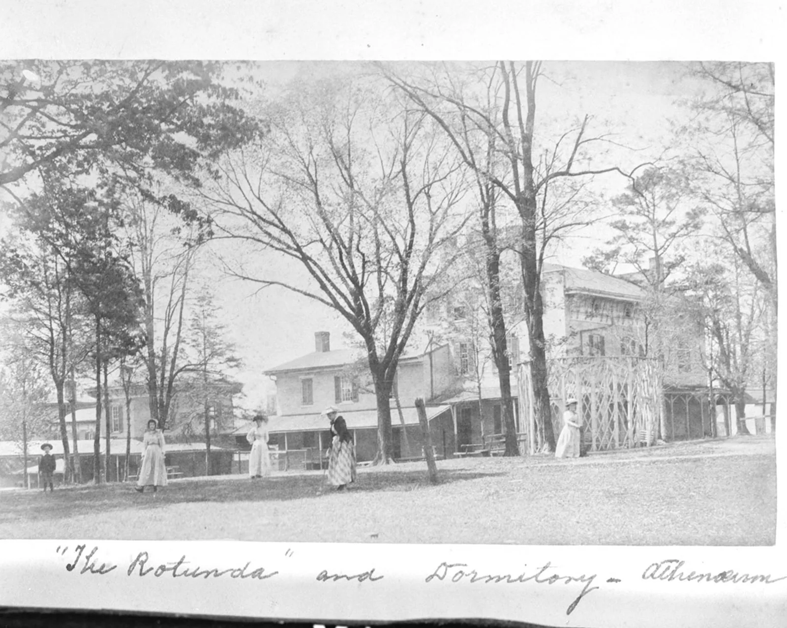
  • Athenaeum rotunda and dormitory, Columbia

    Athenaeum rotunda and dormitory, Columbia

    Date
    1900
    Creator
    Unknown photographer
    ID
    p15138coll50/5092
    License
    Public domain (created about 1900 or earlier by an unidentified photographer; U.S. copyright term has expired). TeVA rights field: Copyright not evaluated.
    Source
    cdm15138.contentdm.oclc.org

    Cropped to one frame of TSLA's copy negative (film border removed), resized to 1600 px and converted to WebP by Pyxl Design. Credit line: Courtesy of the Tennessee State Library & Archives.
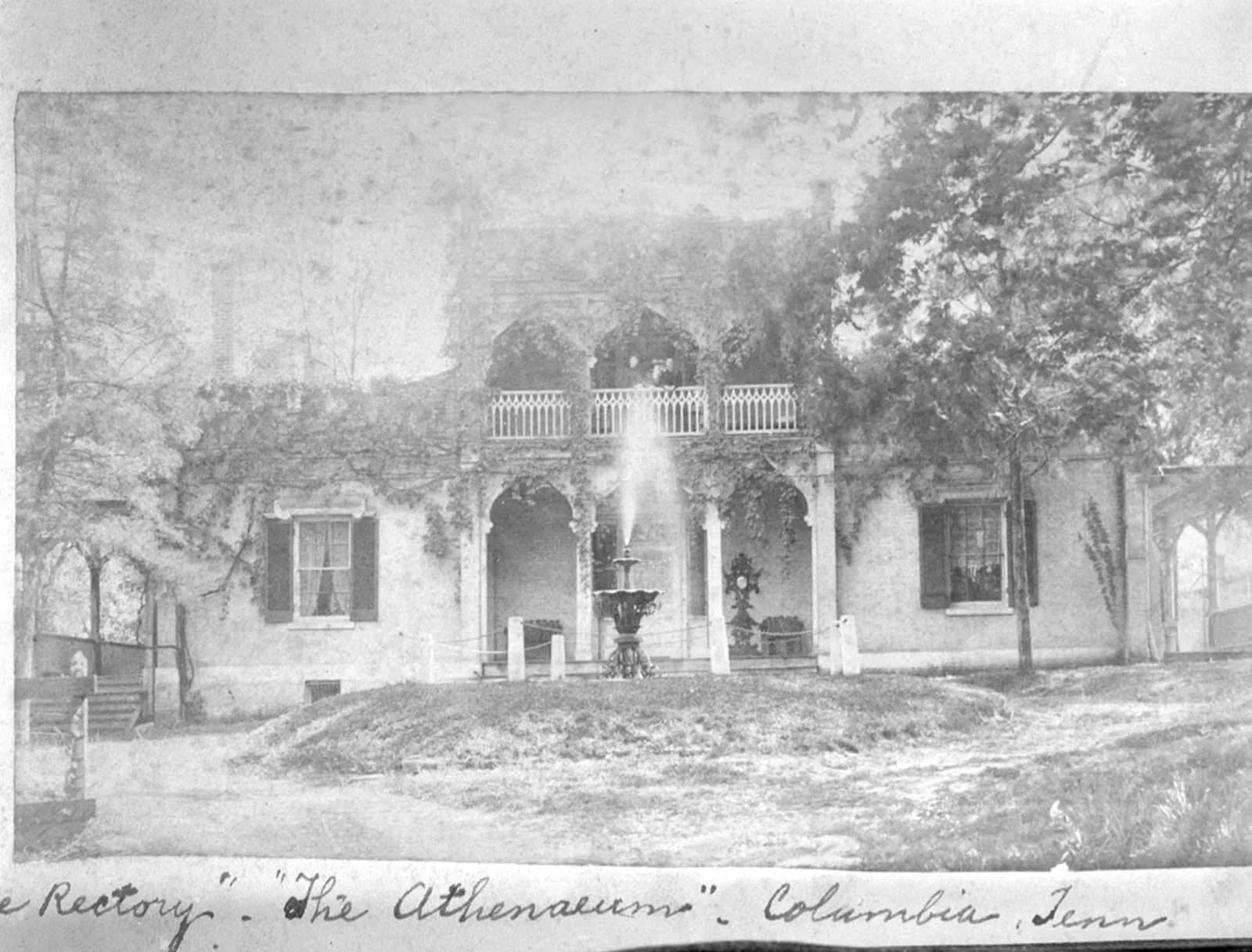
  • Athenaeum rectory, Columbia

    Athenaeum rectory, Columbia

    Date
    about 1900
    Creator
    Unknown photographer
    ID
    p15138coll50/5099
    License
    Public domain (created about 1900 or earlier by an unidentified photographer; U.S. copyright term has expired). TeVA rights field: Copyright not evaluated.
    Source
    cdm15138.contentdm.oclc.org

    TSLA accession 1988-017, ID 10131. Cropped to one frame of TSLA's copy negative (film border removed), resized to 1600 px and converted to WebP by Pyxl Design. Credit line: Courtesy of the Tennessee State Library & Archives.
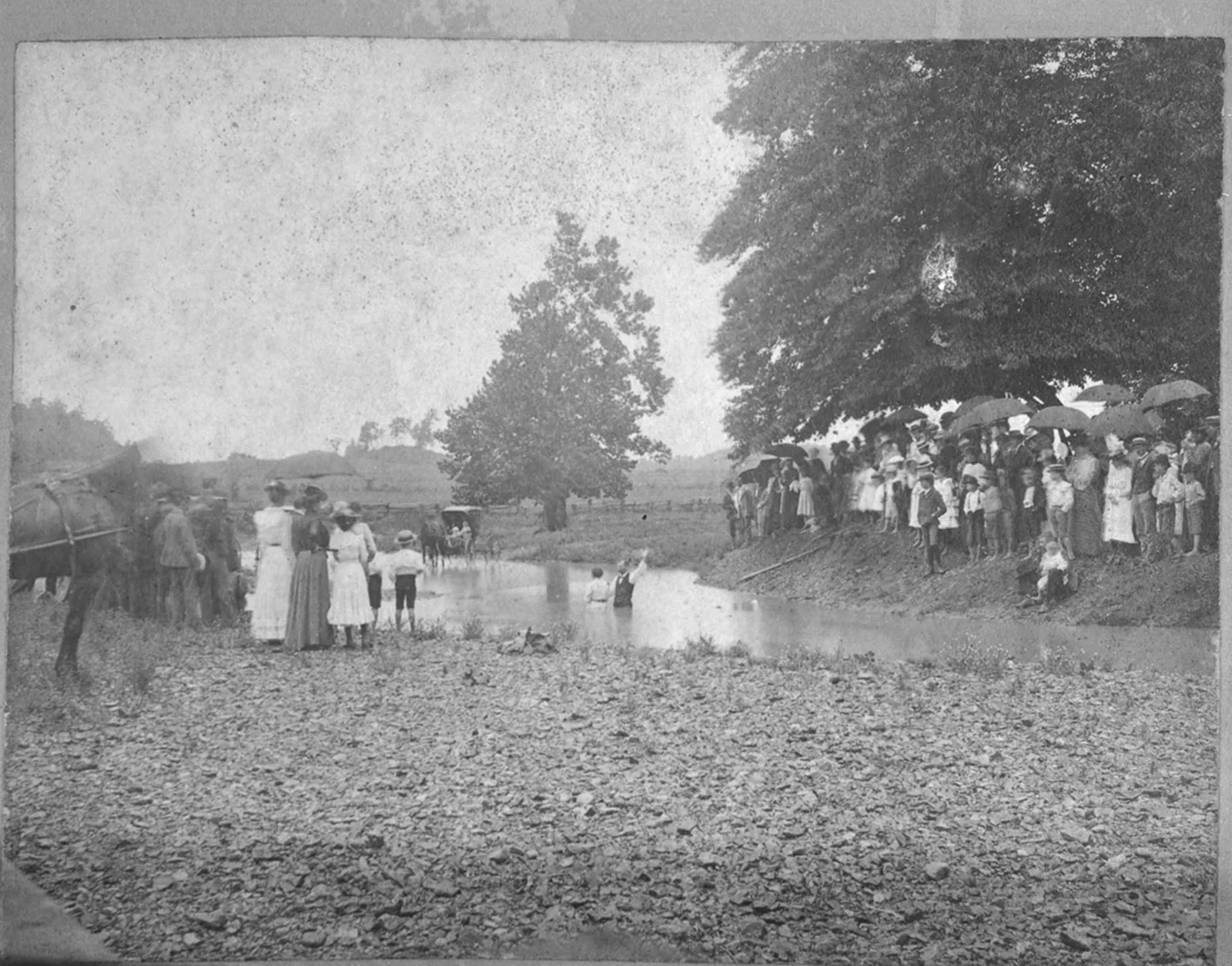
  • Baptism in Maury County

    Baptism in Maury County

    Date
    about 1900
    Creator
    Unknown photographer
    ID
    p15138coll50/4934
    License
    Public domain (created about 1900 or earlier by an unidentified photographer; U.S. copyright term has expired). TeVA rights field: Copyright not evaluated.
    Source
    cdm15138.contentdm.oclc.org

    TSLA ID 10126. Cropped to one frame of TSLA's copy negative (film border removed), resized to 1600 px and converted to WebP by Pyxl Design. Credit line: Courtesy of the Tennessee State Library & Archives.
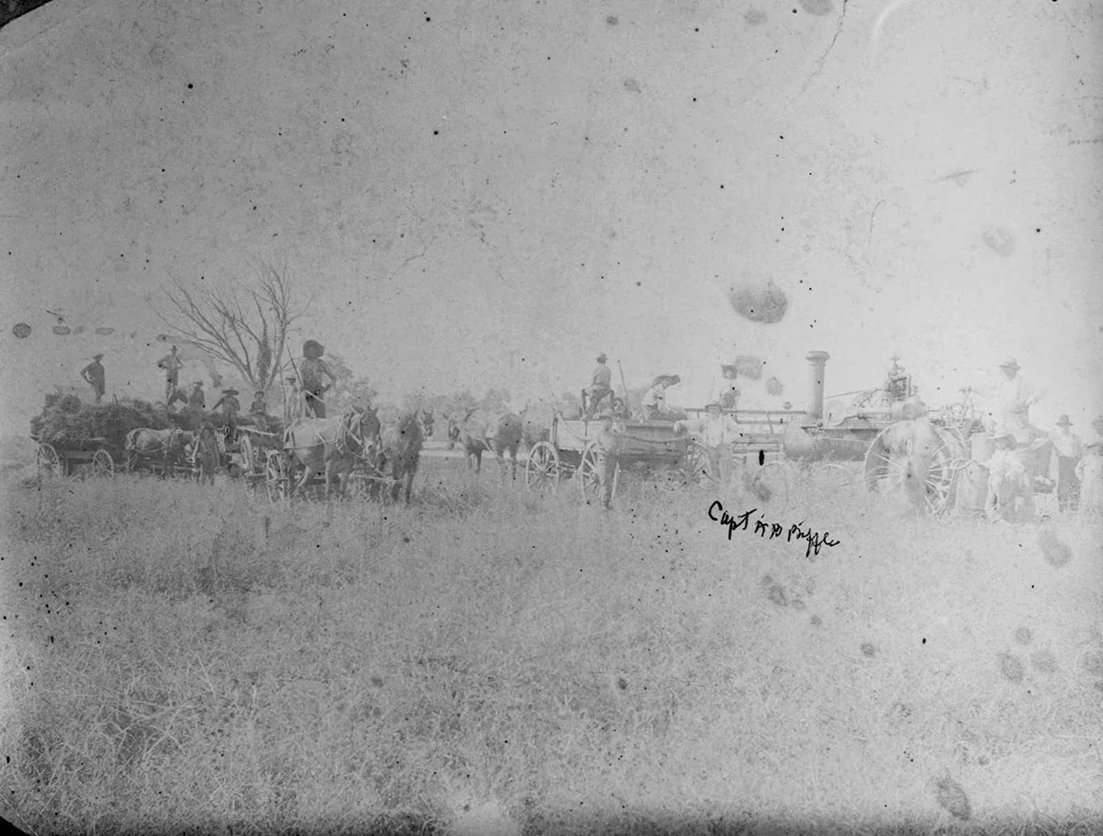
  • Threshing crew on the A.B. Biffle farm, Hampshire, Maury County

    Threshing crew on the A.B. Biffle farm, Hampshire, Maury County

    Date
    about 1897
    Creator
    Unknown photographer
    ID
    p15138coll50/4843
    License
    Public domain (created about 1900 or earlier by an unidentified photographer; U.S. copyright term has expired). TeVA rights field: Copyright not evaluated.
    Source
    cdm15138.contentdm.oclc.org

    TSLA ID 9866. Cropped to one frame of TSLA's copy negative (film border removed), resized to 1600 px and converted to WebP by Pyxl Design. Credit line: Courtesy of the Tennessee State Library & Archives.
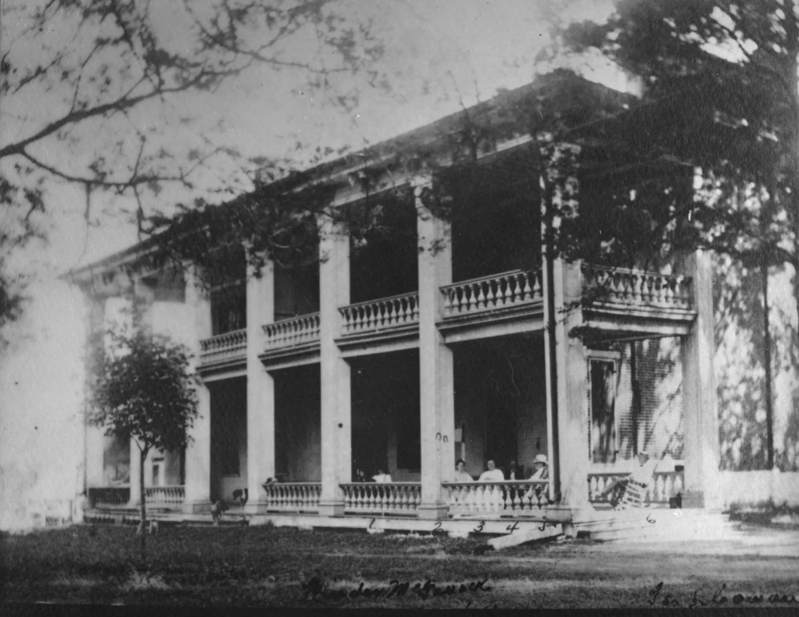
  • Carnton, Franklin

    Carnton, Franklin

    Date
    1890
    Creator
    Unknown photographer
    ID
    p15138coll50/6677
    License
    Public domain (created about 1900 or earlier by an unidentified photographer; U.S. copyright term has expired). TeVA rights field: Copyright not evaluated.
    Source
    cdm15138.contentdm.oclc.org

    TSLA ID 12906. Cropped to one frame of TSLA's copy negative (film border removed), resized to 1600 px and converted to WebP by Pyxl Design. Credit line: Courtesy of the Tennessee State Library & Archives.
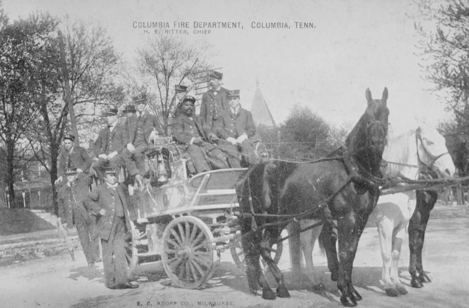
  • Columbia Fire Department

    Columbia Fire Department

    Date
    about 1900
    Creator
    Unknown photographer
    ID
    p15138coll50/4979
    License
    Public domain (created about 1900 or earlier by an unidentified photographer; U.S. copyright term has expired). TeVA rights field: Copyright not evaluated.
    Source
    cdm15138.contentdm.oclc.org

    Cropped to one frame of TSLA's copy negative (film border removed), resized to 1600 px and converted to WebP by Pyxl Design. Credit line: Courtesy of the Tennessee State Library & Archives.
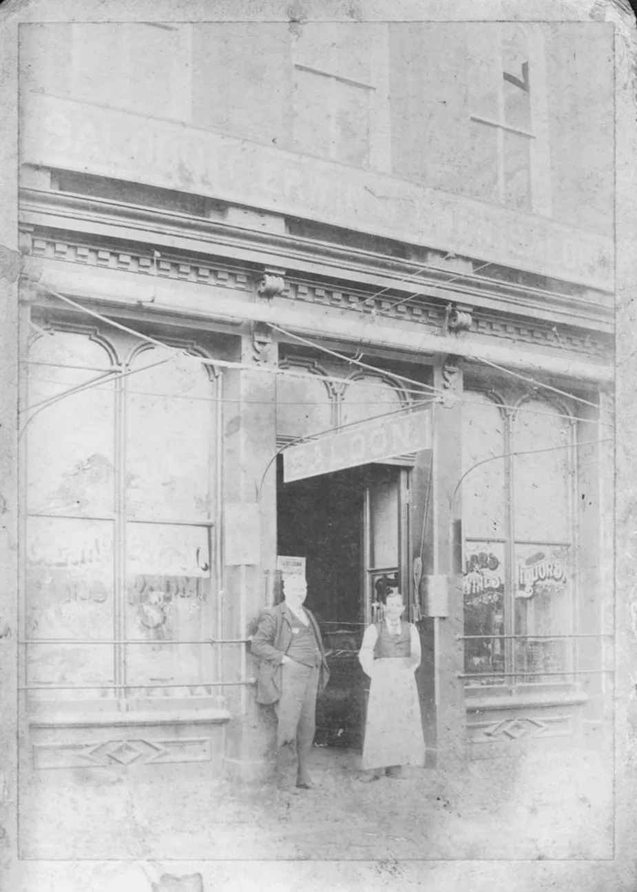
  • Columbia saloon

    Columbia saloon

    Date
    1800s
    Creator
    Unknown photographer
    ID
    p15138coll50/4906
    License
    Public domain (created about 1900 or earlier by an unidentified photographer; U.S. copyright term has expired). TeVA rights field: Copyright not evaluated.
    Source
    cdm15138.contentdm.oclc.org

    Cropped to one frame of TSLA's copy negative (film border removed), resized to 1600 px and converted to WebP by Pyxl Design. Credit line: Courtesy of the Tennessee State Library & Archives.
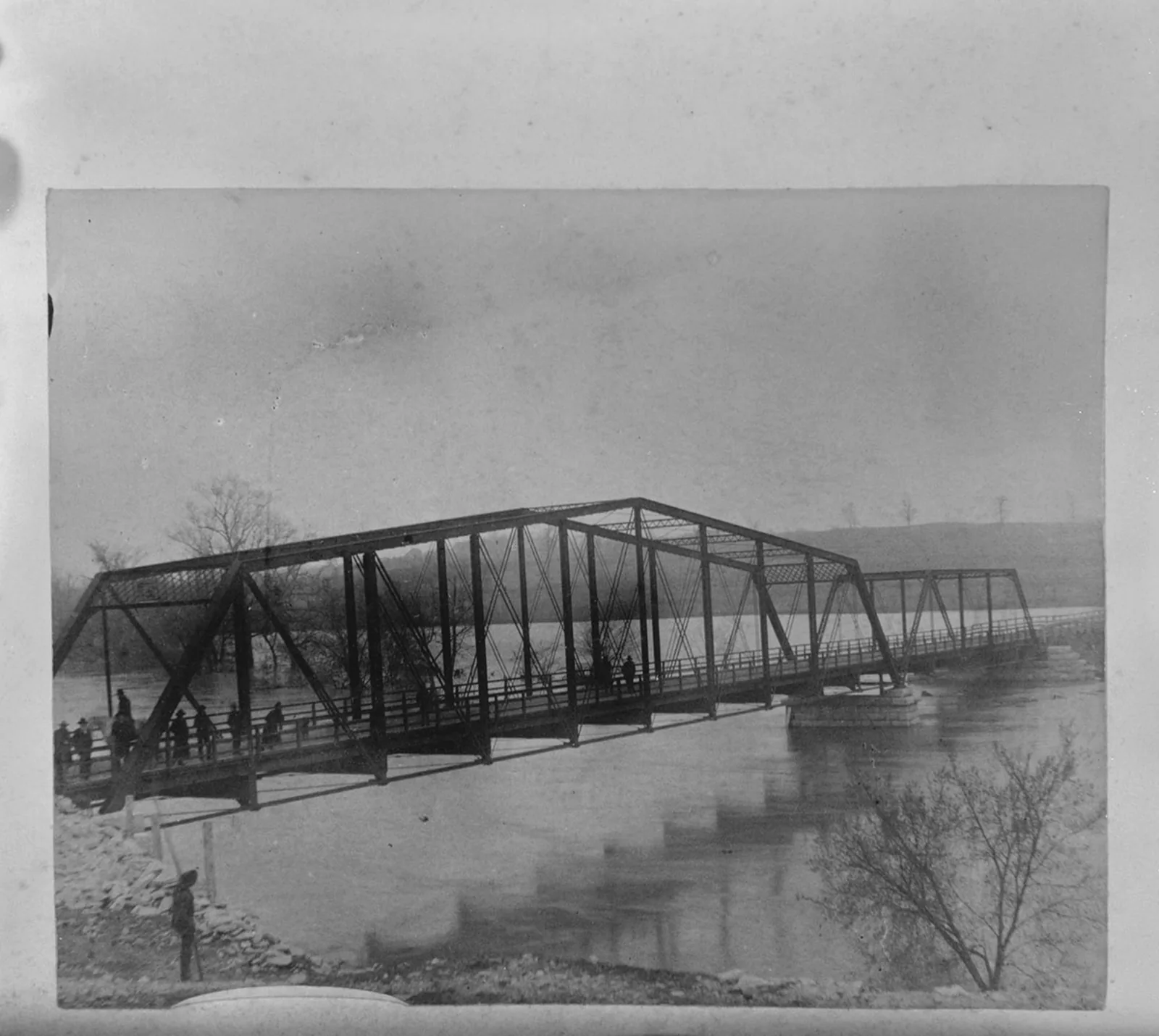
  • Suspension bridge over the Duck River, Columbia

    Suspension bridge over the Duck River, Columbia

    Date
    about 1900
    Creator
    Unknown photographer
    ID
    p15138coll50/4986
    License
    Public domain (created about 1900 or earlier by an unidentified photographer; U.S. copyright term has expired). TeVA rights field: Copyright not evaluated.
    Source
    cdm15138.contentdm.oclc.org

    TSLA ID 10140. Cropped to one frame of TSLA's copy negative (film border removed), resized to 1600 px and converted to WebP by Pyxl Design. Credit line: Courtesy of the Tennessee State Library & Archives.
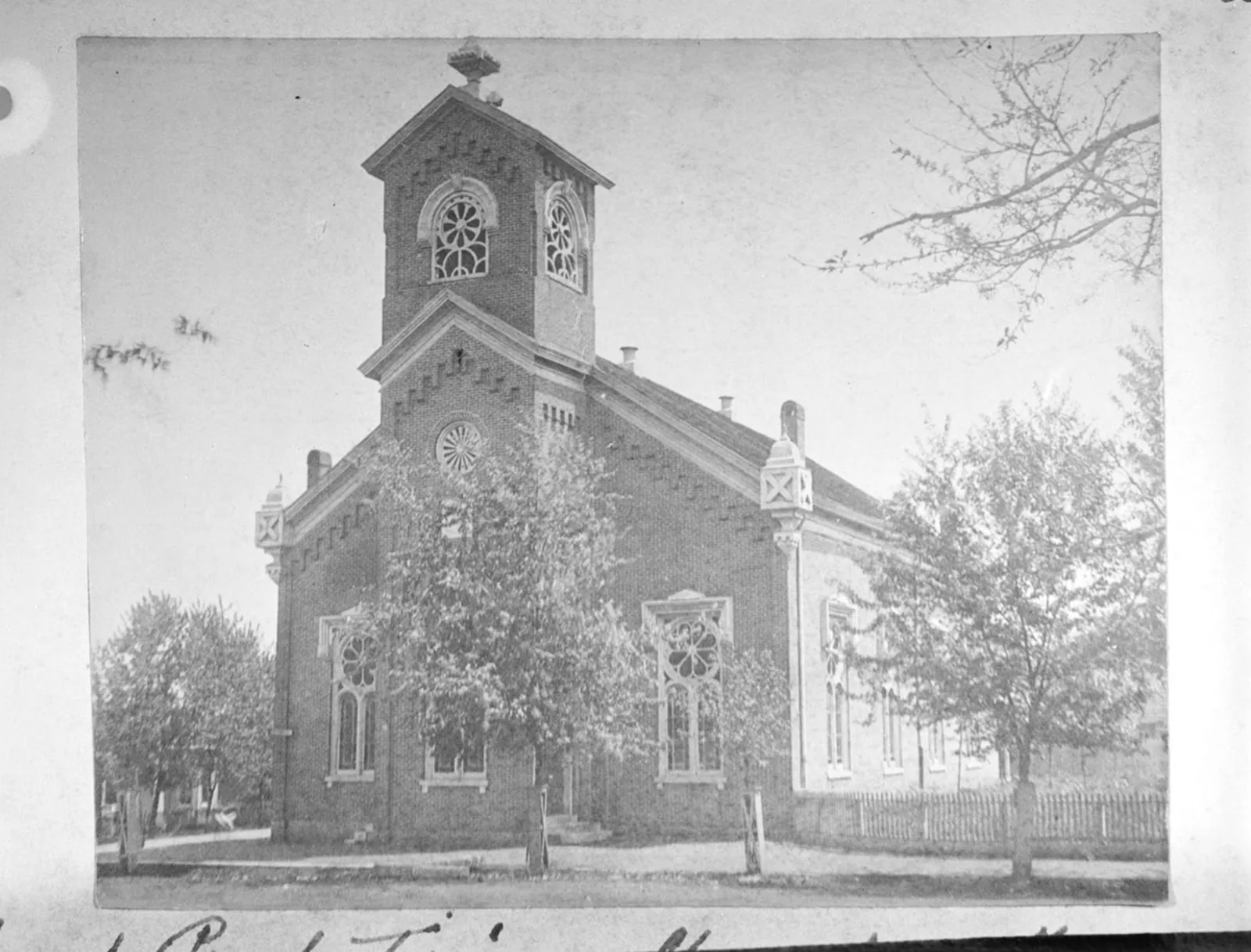
  • First Presbyterian Church, Columbia

    First Presbyterian Church, Columbia

    Date
    about 1900
    Creator
    Unknown photographer
    ID
    p15138coll50/4879
    License
    Public domain (created about 1900 or earlier by an unidentified photographer; U.S. copyright term has expired). TeVA rights field: Copyright not evaluated.
    Source
    cdm15138.contentdm.oclc.org

    Cropped to one frame of TSLA's copy negative (film border removed), resized to 1600 px and converted to WebP by Pyxl Design. Credit line: Courtesy of the Tennessee State Library & Archives.

Tennessee State Library and Archives, Map Collection (TeVA) 13
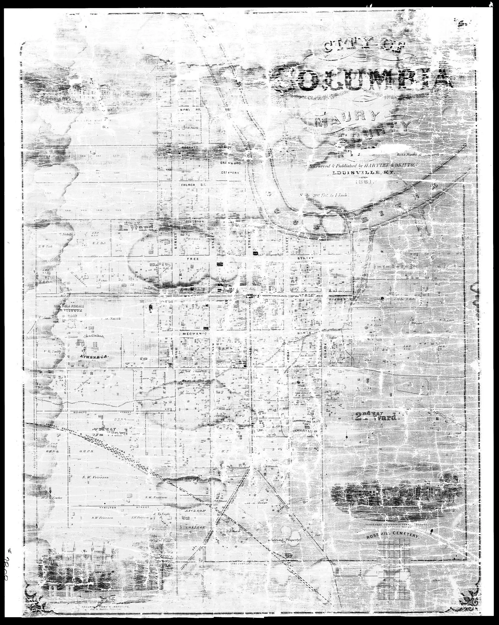
  • City of Columbia (contrast-enhanced scan of the 1861 map, with views of the Tennessee Conference Female College, Columbia Female Institute and Columbia Athenaeum)

    City of Columbia (contrast-enhanced scan of the 1861 map, with views of the Tennessee Conference Female College, Columbia Female Institute and Columbia Athenaeum)

    Date
    1861
    Creator
    Hartley & Drayton
    ID
    p15138coll23/9326
    License
    No copyright - United States (rightsstatements.org NoC-US, as assigned by TSLA)
    Source
    cdm15138.contentdm.oclc.org

    TSLA map 43400. The original varnished map has darkened; this is TSLA's contrast-enhanced image. Resized to 1600 px and converted to WebP by Pyxl Design. Credit line: Courtesy of the Tennessee State Library & Archives.
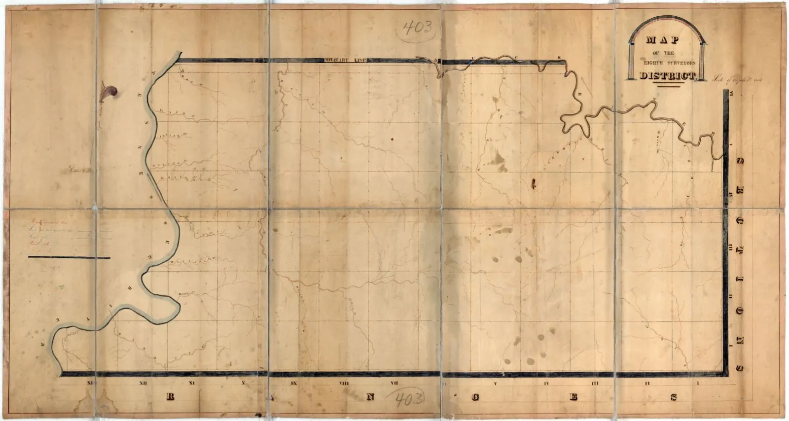
  • Map of the Eighth Surveyors District of Tennessee

    Map of the Eighth Surveyors District of Tennessee

    Date
    1819
    Creator
    Unknown
    ID
    p15138coll23/1
    License
    No copyright - United States (rightsstatements.org NoC-US, as assigned by TSLA)
    Source
    cdm15138.contentdm.oclc.org

    Includes the area of south-central Tennessee below the Military Reservation from the Tennessee River on the west through present-day Perry, Hickman, and Maury counties to Columbia. Resized to 1600 px and converted to WebP by Pyxl Design. Credit line: Courtesy of the Tennessee State Library & Archives.
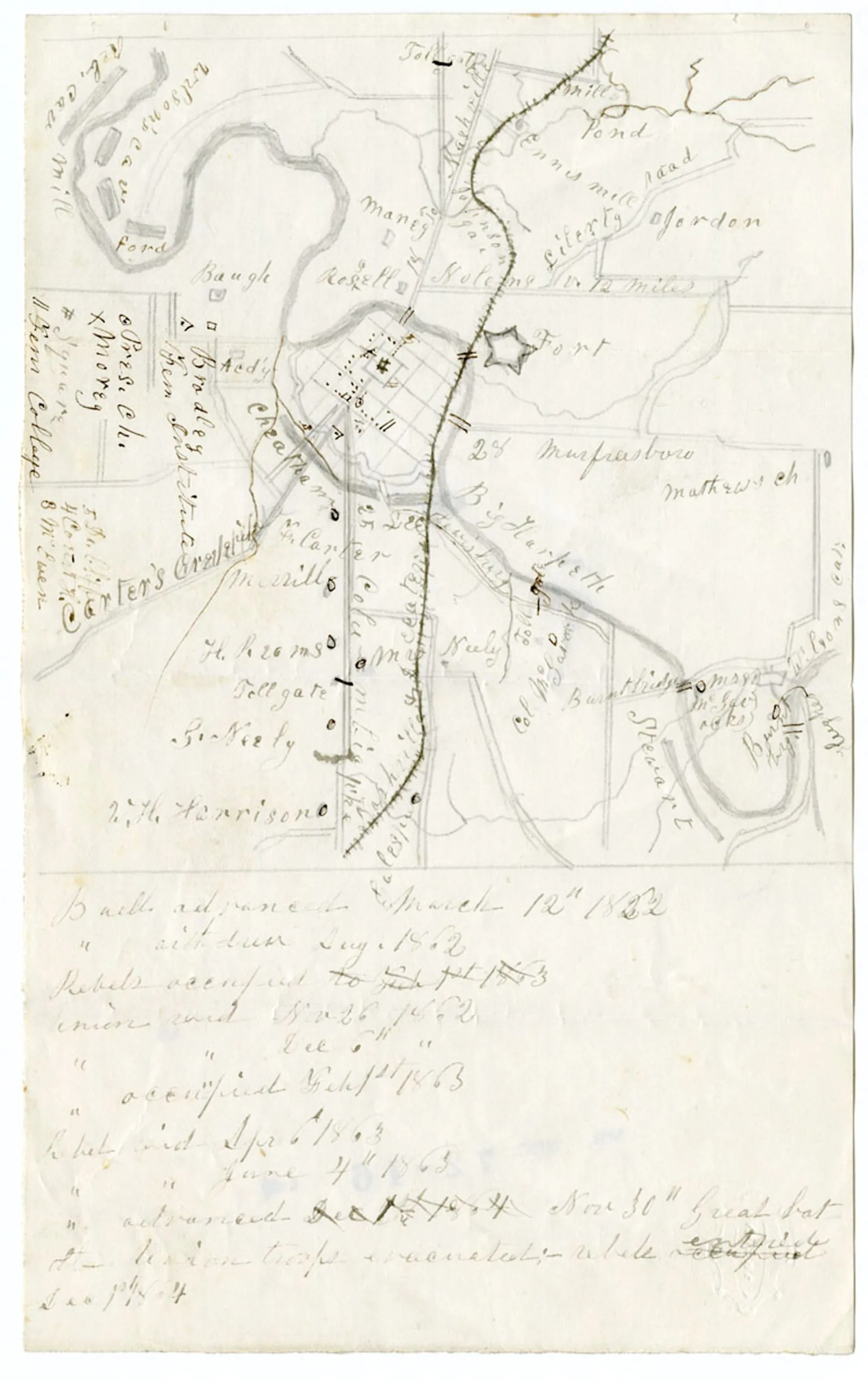
  • Map of Franklin, Tennessee

    Map of Franklin, Tennessee

    Date
    1864
    Creator
    Unknown
    ID
    p15138coll23/99
    License
    No copyright - United States (rightsstatements.org NoC-US, as assigned by TSLA)
    Source
    cdm15138.contentdm.oclc.org

    Hand-drawn Civil War map of Franklin, done by a Confederate soldier, showing locations of Fort Grainger, Union and Confederate positions at the November 30, 1864 battle, major streams, fords, bridges, roads, and the railroad. Resized to 1600 px and converted to WebP by Pyxl Design. Credit line: Courtesy of the Tennessee State Library & Archives.
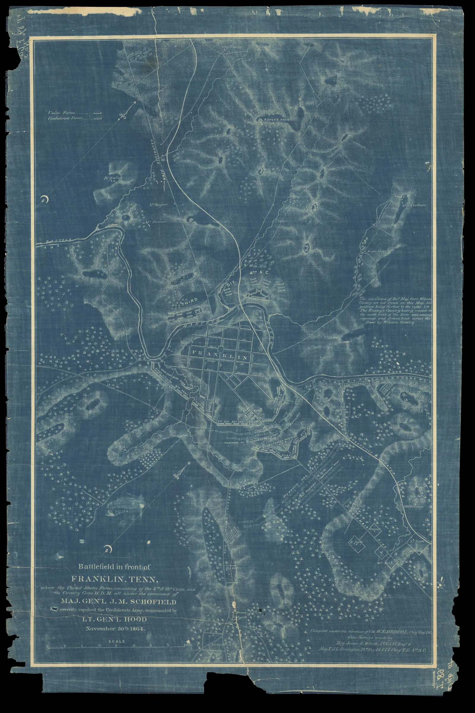
  • Battlefield in front of Franklin, Tenn.

    Battlefield in front of Franklin, Tenn.

    Date
    1874
    Creator
    Merrill, W. E. (William Emery), 1837-1891; Willett, James R. (James Rowland), 1831-1907; Remington, T. J. L.
    ID
    p15138coll23/10059
    License
    No copyright - United States (rightsstatements.org NoC-US, as assigned by TSLA)
    Source
    cdm15138.contentdm.oclc.org

    Map shows Battle of Franklin where the United States Forces repulsed the Confederate Army on November 30, 1864. Includes topography, roads, disposition of Union works and Confederate forces, houses and landowners, fortified positions, and layout of Town of Franklin. Resized to 1600 px and converted to WebP by Pyxl Design. Credit line: Courtesy of the Tennessee State Library & Archives.
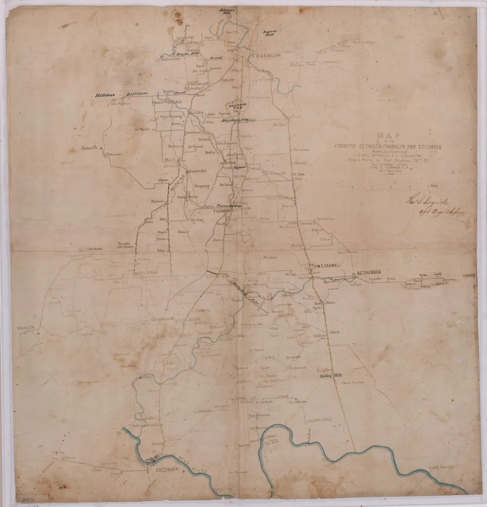
  • Civil War map of the country between Franklin and Columbia

    Civil War map of the country between Franklin and Columbia

    Date
    May 1863
    Creator
    U.S. Army, under Capt. William E. Merrill (from Capt. Dunham's survey)
    ID
    p15138coll23/94
    License
    No copyright - United States (rightsstatements.org NoC-US, as assigned by TSLA)
    Source
    cdm15138.contentdm.oclc.org

    Shows roads, railroads, tollgates and landowners over the ground Hood's army crossed in November 1864. Resized to 1600 px and converted to WebP by Pyxl Design. Credit line: Courtesy of the Tennessee State Library & Archives.
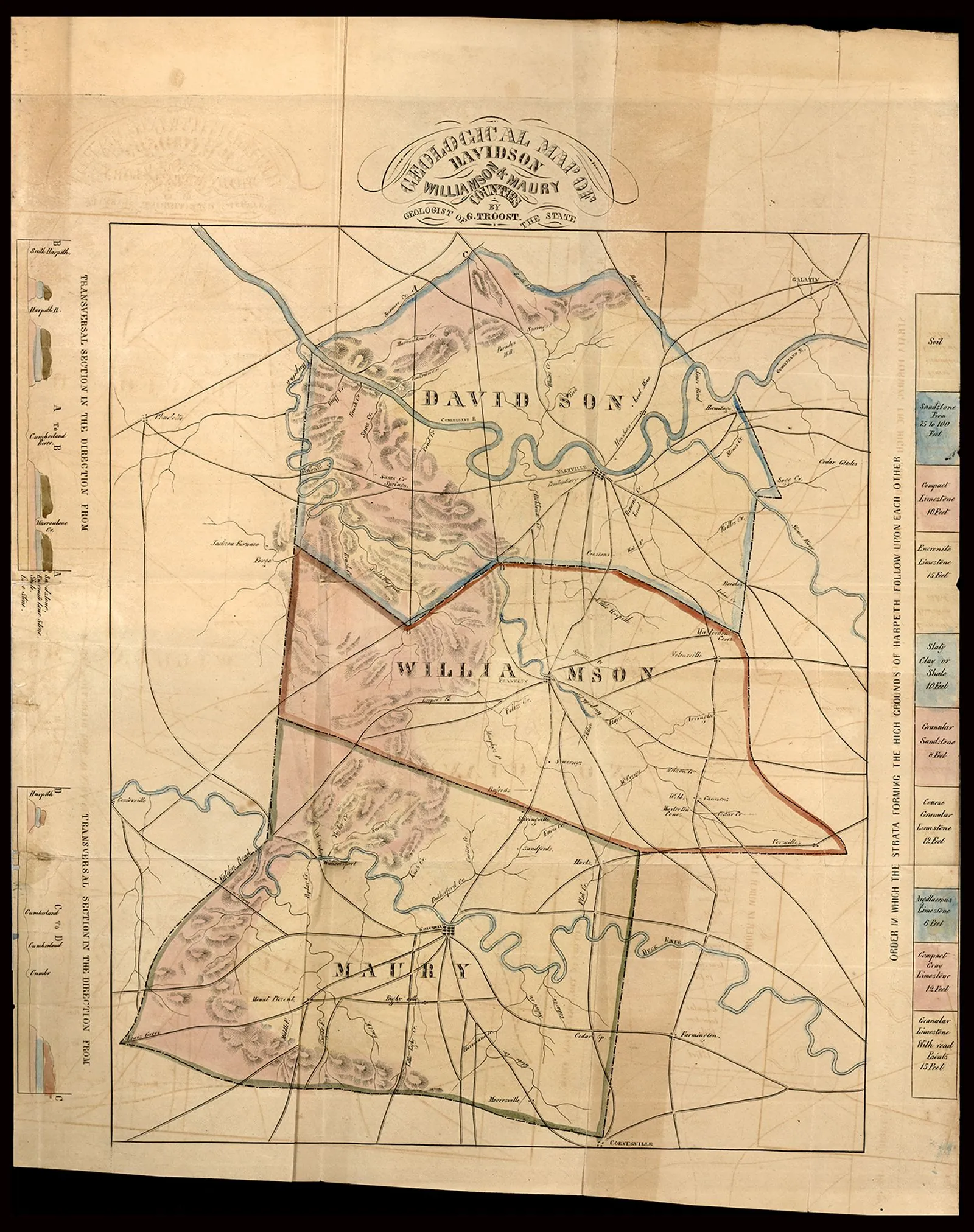
  • Davidson, Williamson, and Maury County geological map (Seventh Geological Report)

    Davidson, Williamson, and Maury County geological map (Seventh Geological Report)

    Date
    1843
    Creator
    Gerard Troost
    ID
    p15138coll23/10622
    License
    No copyright - United States (rightsstatements.org NoC-US, as assigned by TSLA)
    Source
    cdm15138.contentdm.oclc.org

    Resized to 1600 px and converted to WebP by Pyxl Design. Credit line: Courtesy of the Tennessee State Library & Archives.
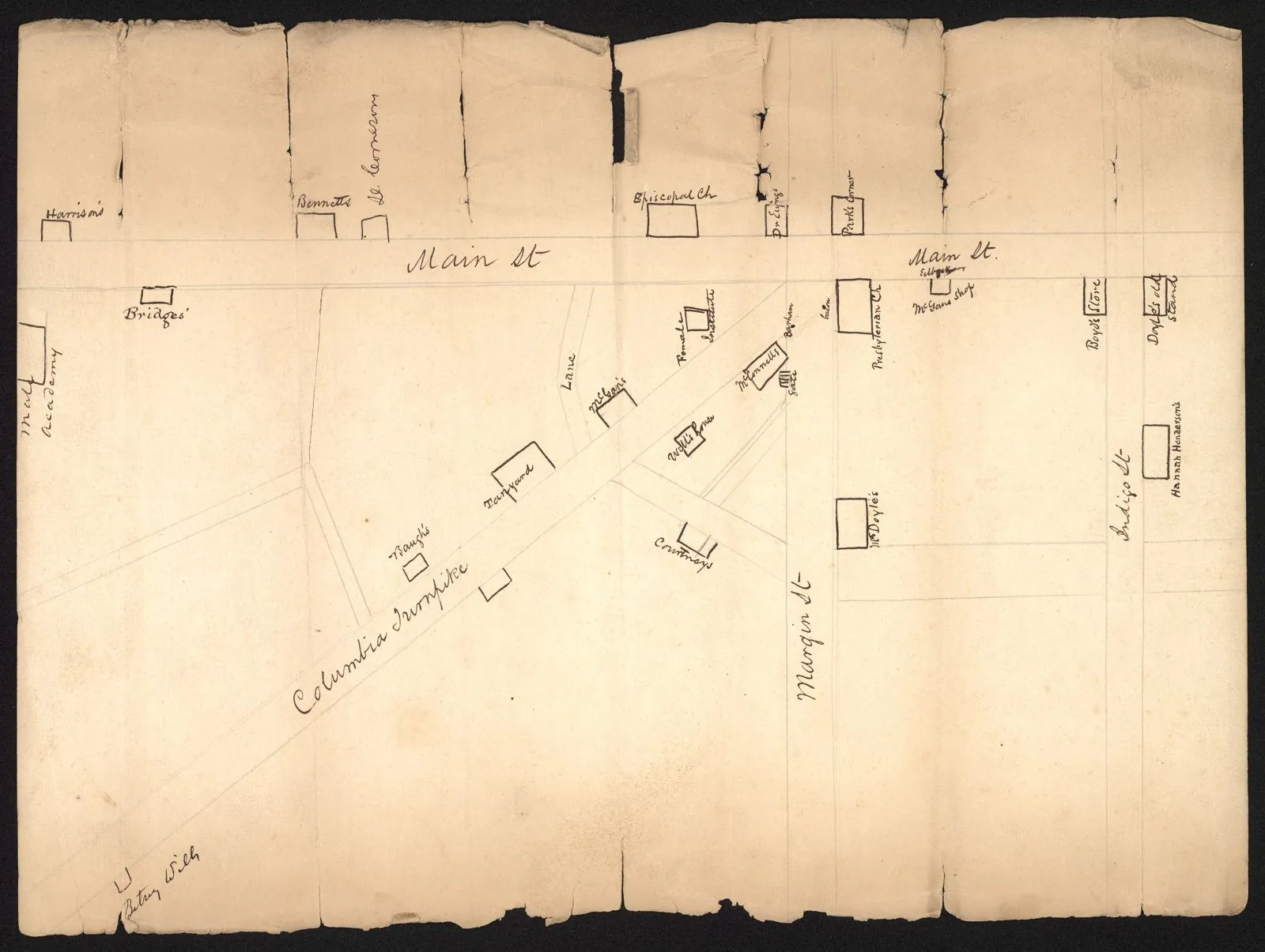
  • Henry, a slave v. State (1850) Franklin map exhibit

    Henry, a slave v. State (1850) Franklin map exhibit

    Date
    1850
    Creator
    Unknown
    ID
    p15138coll23/9660
    License
    No copyright - United States (rightsstatements.org NoC-US, as assigned by TSLA)
    Source
    cdm15138.contentdm.oclc.org

    Hand-drawn map of Franklin accompanying the 1850 Supreme Court case file of Henry, a slave v. State of Tennessee. The map exhibit details the area where Main Street and Columbia Turnpike intersect. Resized to 1600 px and converted to WebP by Pyxl Design. Credit line: Courtesy of the Tennessee State Library & Archives.
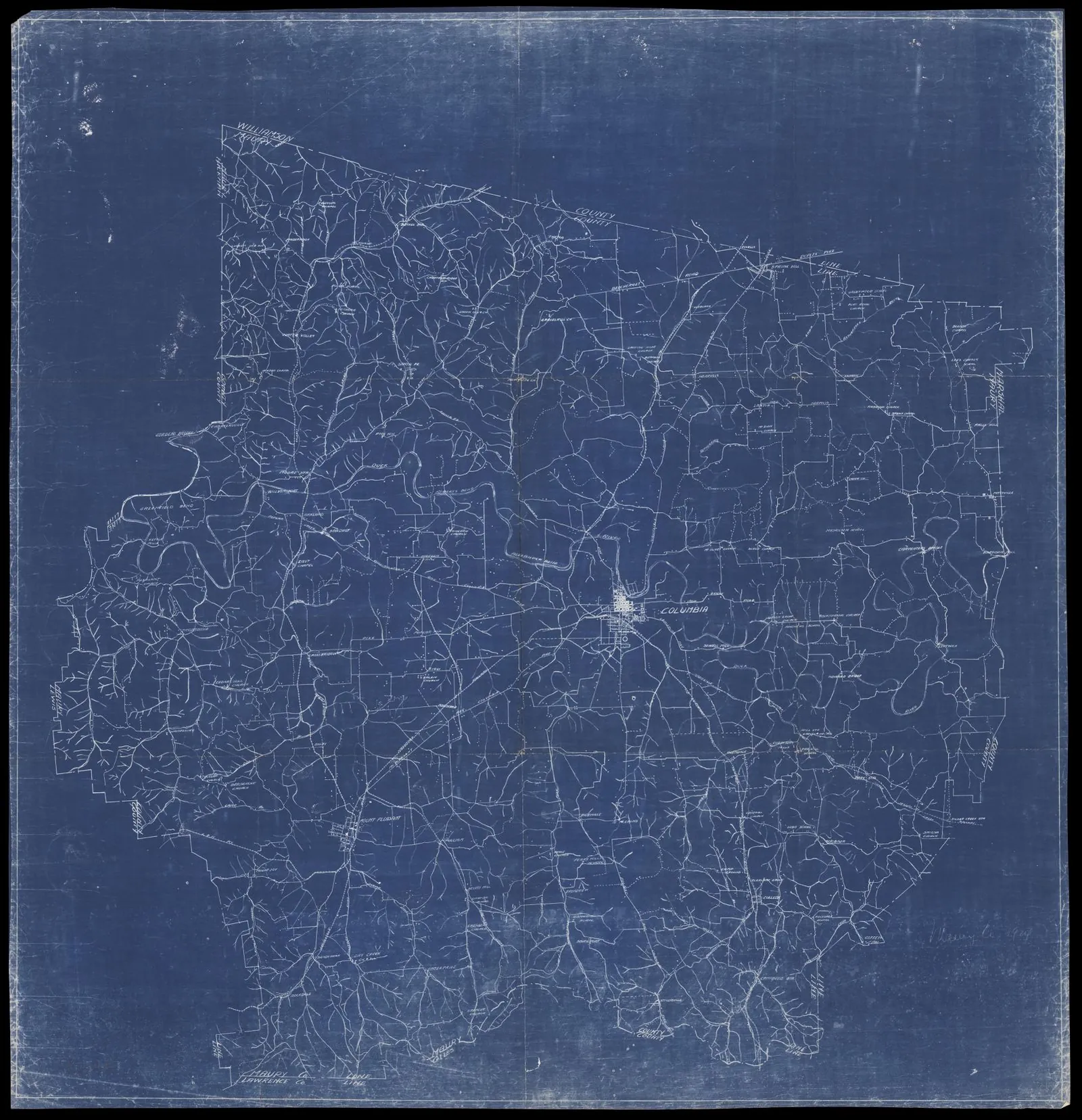
  • Maury County, Tennessee (blueprint map)

    Maury County, Tennessee (blueprint map)

    Date
    1924
    Creator
    Unknown
    ID
    p15138coll23/10640
    License
    No copyright - United States (rightsstatements.org NoC-US, as assigned by TSLA)
    Source
    cdm15138.contentdm.oclc.org

    TSLA map 46523. Shows structures, communities, churches, cemeteries, roads and creeks. Resized to 1600 px and converted to WebP by Pyxl Design. Credit line: Courtesy of the Tennessee State Library & Archives.
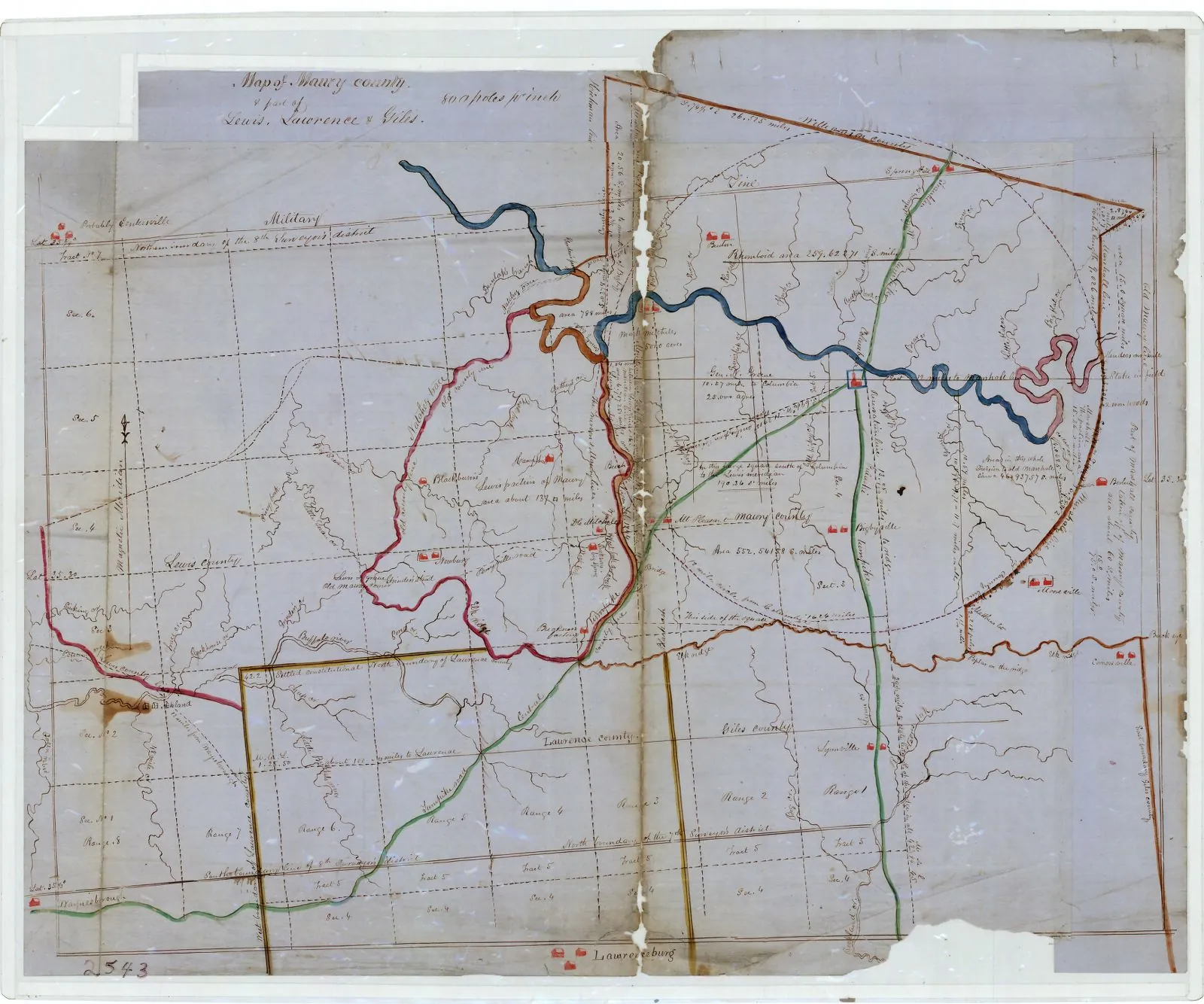
  • Map of Maury County and part of Lewis, Lawrence and Giles (1851)

    Map of Maury County and part of Lewis, Lawrence and Giles (1851)

    Date
    1851
    Creator
    Unknown
    ID
    p15138coll23/8846
    License
    No copyright - United States (rightsstatements.org NoC-US, as assigned by TSLA)
    Source
    cdm15138.contentdm.oclc.org

    This detailed map was originally from the Tennessee Supreme Court case of Maury County v. Lewis County. It shows a number of important historical and surveying landmarks as well as the boundaries of all the counties surrounding Lewis County. Resized to 1600 px and converted to WebP by Pyxl Design. Credit line: Courtesy of the Tennessee State Library & Archives.
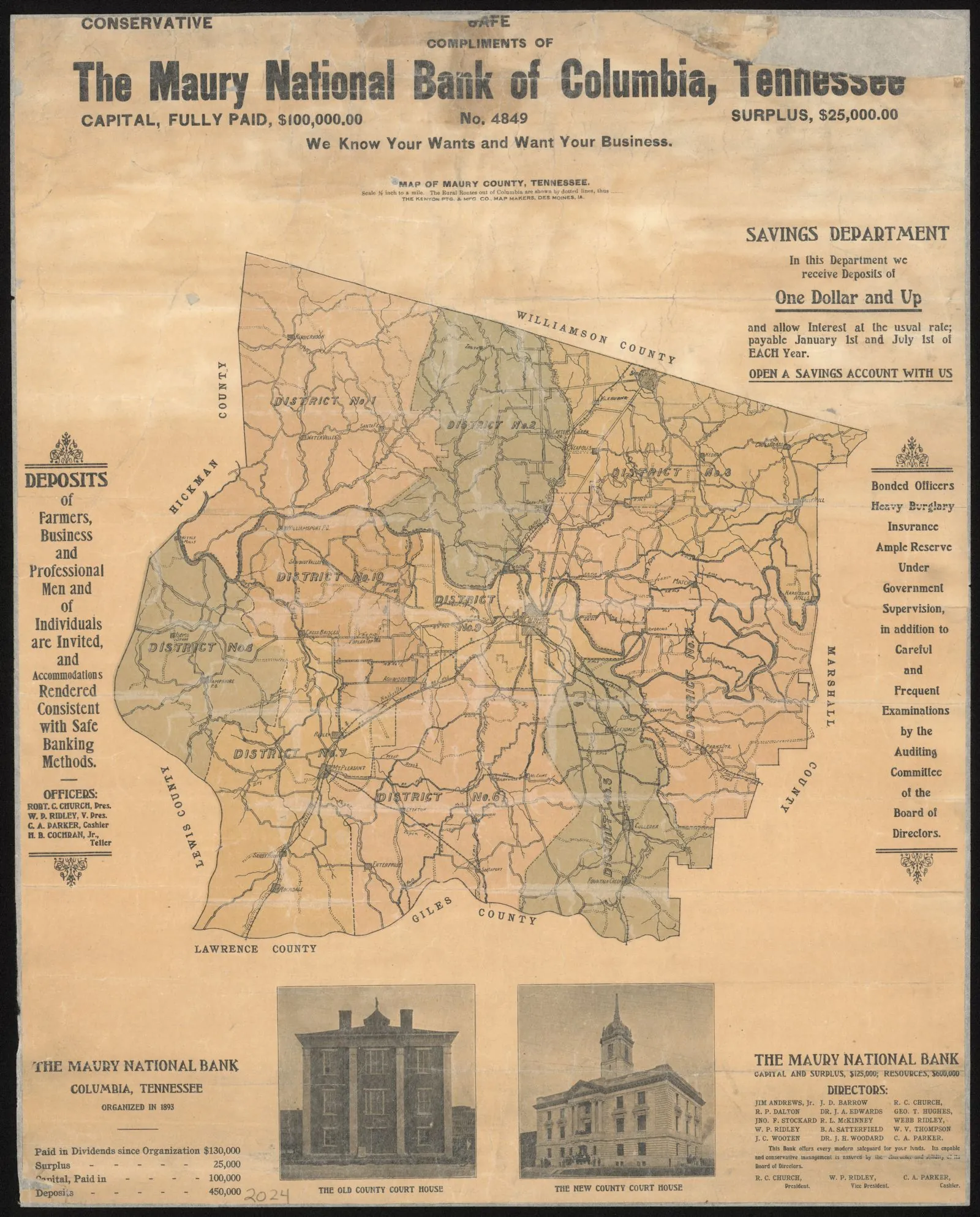
  • Map of Maury County, Tennessee

    Map of Maury County, Tennessee

    Date
    about 1905
    Creator
    Unknown
    ID
    p15138coll23/10399
    License
    No copyright - United States (rightsstatements.org NoC-US, as assigned by TSLA)
    Source
    cdm15138.contentdm.oclc.org

    Map of Maury County showing the civil districts, towns, post offices, roads, rivers, and creeks. Two photos at the bottom highlight the old and new county courthouse. Also includes bank officer names and county funds held at the bank. Compliments of the Maury National Bank of Columbia. Resized to 1600 px and converted to WebP by Pyxl Design. Credit line: Courtesy of the Tennessee State Library & Archives.
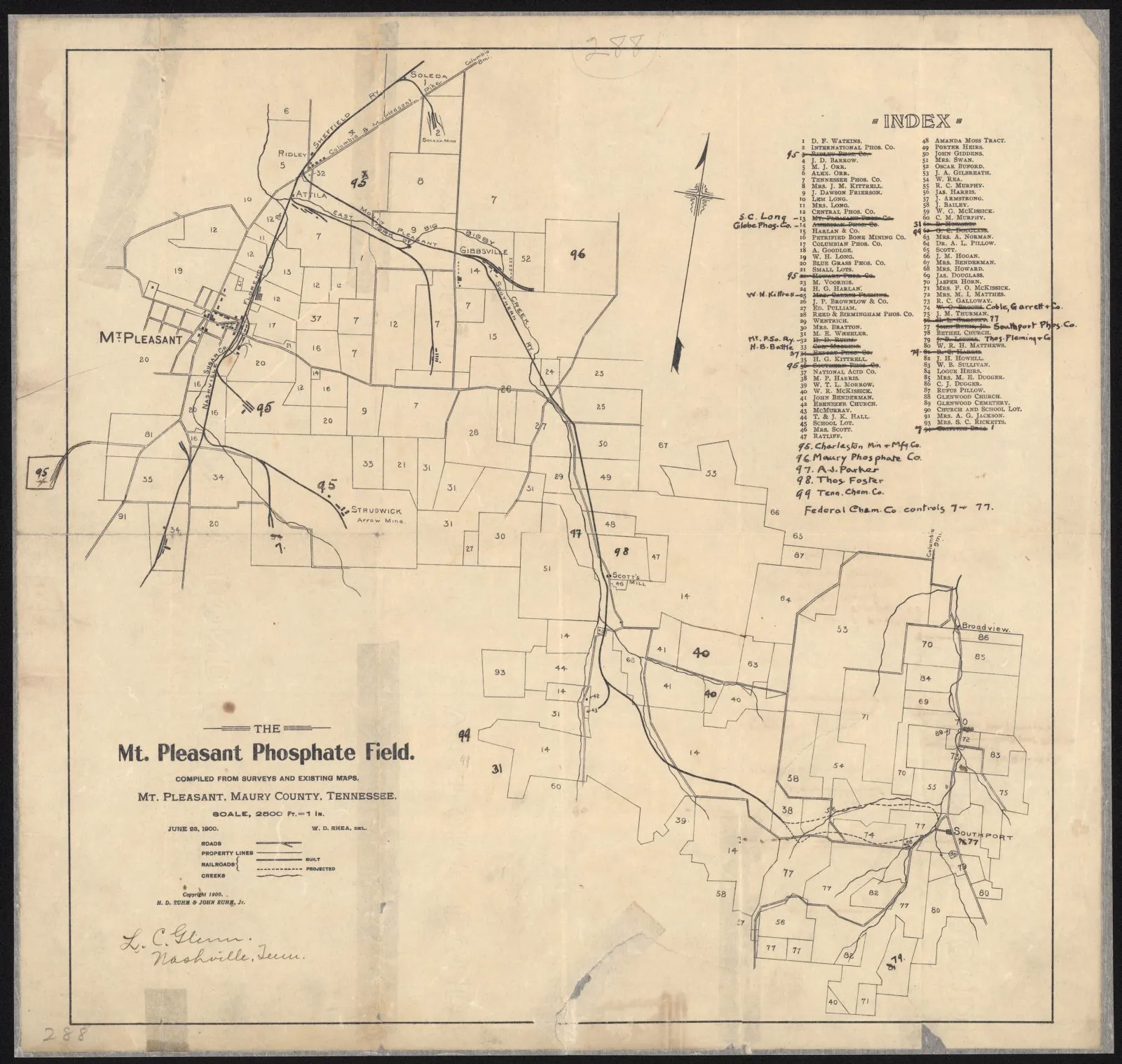
  • The Mt. Pleasant phosphate field

    The Mt. Pleasant phosphate field

    Date
    1900
    Creator
    Rhea, W. D.
    ID
    p15138coll23/10665
    License
    No copyright - United States (rightsstatements.org NoC-US, as assigned by TSLA)
    Source
    cdm15138.contentdm.oclc.org

    Cadastral map of landowners near Mt. Pleasant, Maury County. Roads, railroads, creeks and mills are included. The index to the right indicates lot owners. Resized to 1600 px and converted to WebP by Pyxl Design. Credit line: Courtesy of the Tennessee State Library & Archives.
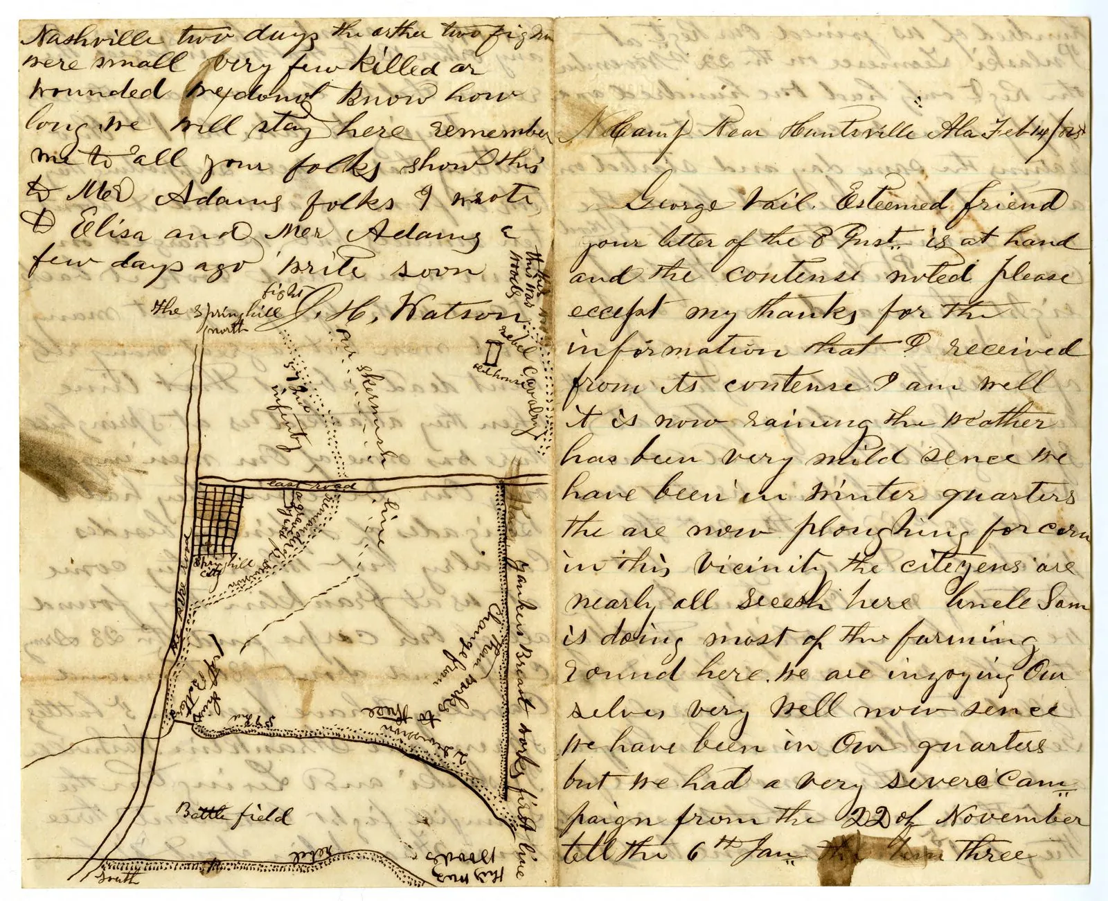
  • Letter with map of Battle of Spring Hill, Tennessee

    Letter with map of Battle of Spring Hill, Tennessee

    Date
    1865-02-14
    Creator
    Unknown
    ID
    p15138coll23/119
    License
    No copyright - United States (rightsstatements.org NoC-US, as assigned by TSLA)
    Source
    cdm15138.contentdm.oclc.org

    Letter with a hand-drawn map of the Battle of Spring Hill. The letter was written by J. H. Watson of the 57th Indiana Regiment and describes several Tenn. engagements, especially the Battle of Franklin. It was written from a "Camp near Huntsville, Ala." Resized to 1600 px and converted to WebP by Pyxl Design. Credit line: Courtesy of the Tennessee State Library & Archives.
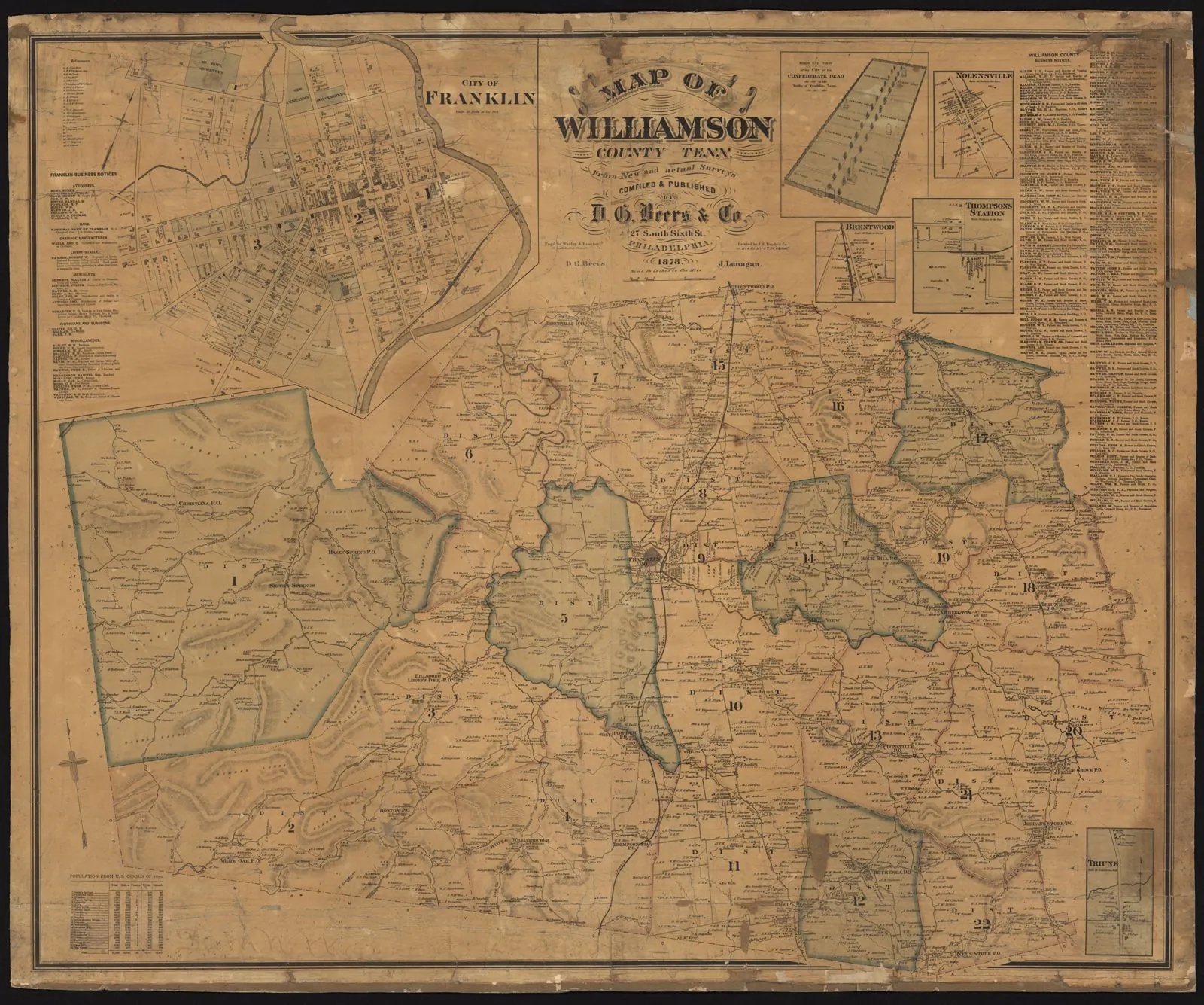
  • Williamson County, Tennessee, 1878

    Williamson County, Tennessee, 1878

    Date
    1878
    Creator
    Unknown
    ID
    p15138coll23/343
    License
    No copyright - United States (rightsstatements.org NoC-US, as assigned by TSLA)
    Source
    cdm15138.contentdm.oclc.org

    This color map from the D. G. Beers Co. of Philadelphia shows roads, railroads, streams, schools, stores, residences with owner's names, post offices, and different-colored civil districts. Includes inset of City of Franklin. Resized to 1600 px and converted to WebP by Pyxl Design. Credit line: Courtesy of the Tennessee State Library & Archives.

USGS EROS Archive, NHAP (via EarthExplorer) 2
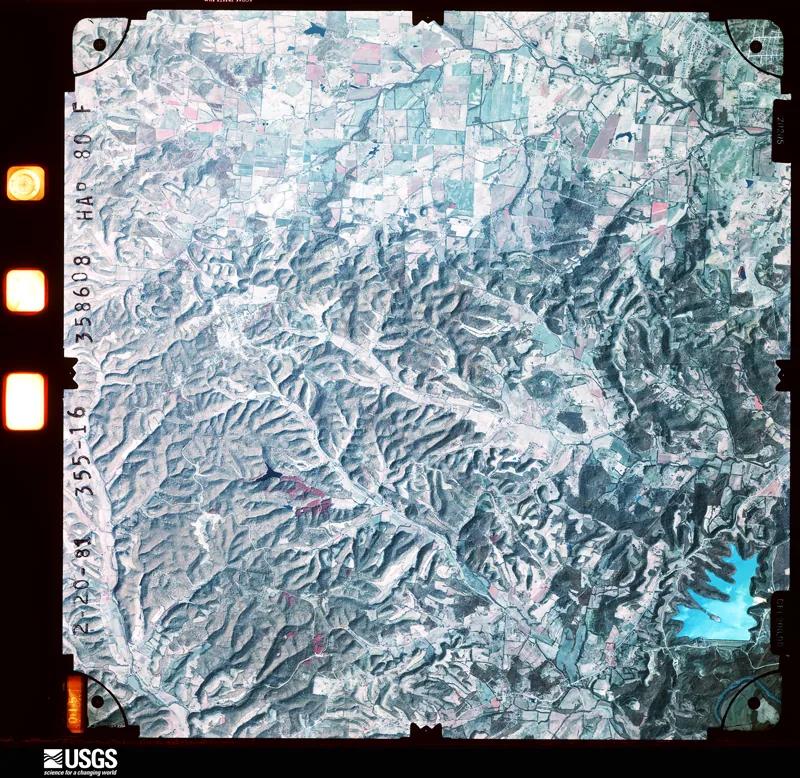
  • National High Altitude Photography frame over Knob Creek (color infrared)

    National High Altitude Photography frame over Knob Creek (color infrared)

    Date
    1981-02-20
    Creator
    U.S. Geological Survey, National High Altitude Photography program
    ID
    NC1NHAP800355016
    License
    Public domain (U.S. federal government work)
    Source
    earthexplorer.usgs.gov

    EarthExplorer browse image of the full film frame. Frame center about 35.75 N, 87.0625 W, roughly half a mile northeast of the farm. Higher-resolution scans need a free EROS login.
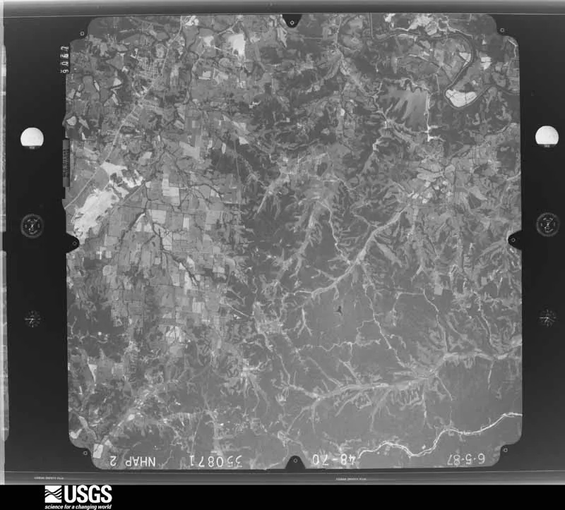
  • National High Altitude Photography frame over Knob Creek (black and white)

    National High Altitude Photography frame over Knob Creek (black and white)

    Date
    1987-06-05
    Creator
    U.S. Geological Survey, National High Altitude Photography program
    ID
    NB1NHAP020048070
    License
    Public domain (U.S. federal government work)
    Source
    earthexplorer.usgs.gov

    EarthExplorer browse image of the full film frame. Frame center about 35.75 N, 87.0625 W, roughly half a mile northeast of the farm. Higher-resolution scans need a free EROS login.

USGS Historical Topographic Map Collection 2
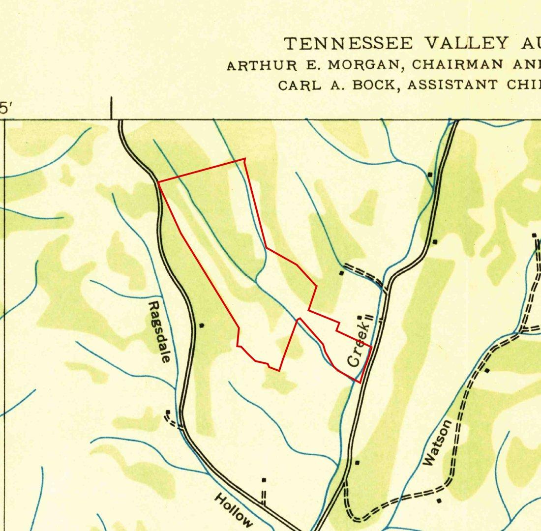
  • Godwin, Tenn. 7.5-minute quadrangle (detail, parcel outline added)

    Godwin, Tenn. 7.5-minute quadrangle (detail, parcel outline added)

    Date
    1936
    Creator
    Tennessee Valley Authority, Maps and Surveys; scan by U.S. Geological Survey
    ID
    TN_Godwin_149735_1936_24000
    License
    Public domain (U.S. federal government work)
    Source
    prd-tnm.s3.amazonaws.com

    Cropped and parcel boundary overlaid by Pyxl Design. Boundary from TN Comptroller parcel layer; alignment within a few dozen meters.
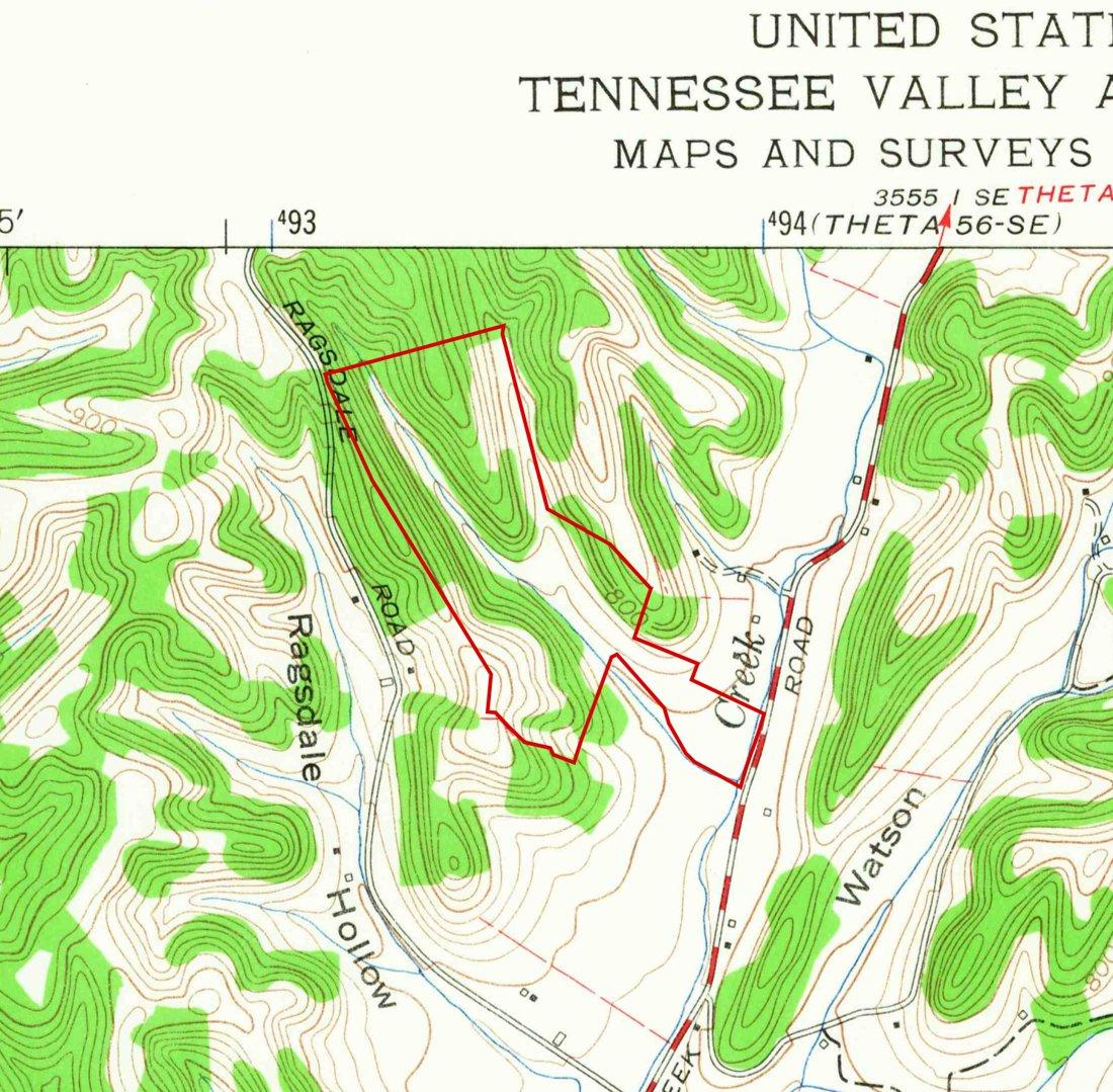
  • Godwin, Tenn. 7.5-minute quadrangle (detail, parcel outline added)

    Godwin, Tenn. 7.5-minute quadrangle (detail, parcel outline added)

    Date
    1965
    Creator
    Tennessee Valley Authority / U.S. Geological Survey
    ID
    TN_Godwin_149732_1965_24000
    License
    Public domain (U.S. federal government work)
    Source
    prd-tnm.s3.amazonaws.com

    Cropped and parcel boundary overlaid by Pyxl Design.

USGS Historical Topographic Map Collection (topoView) 6
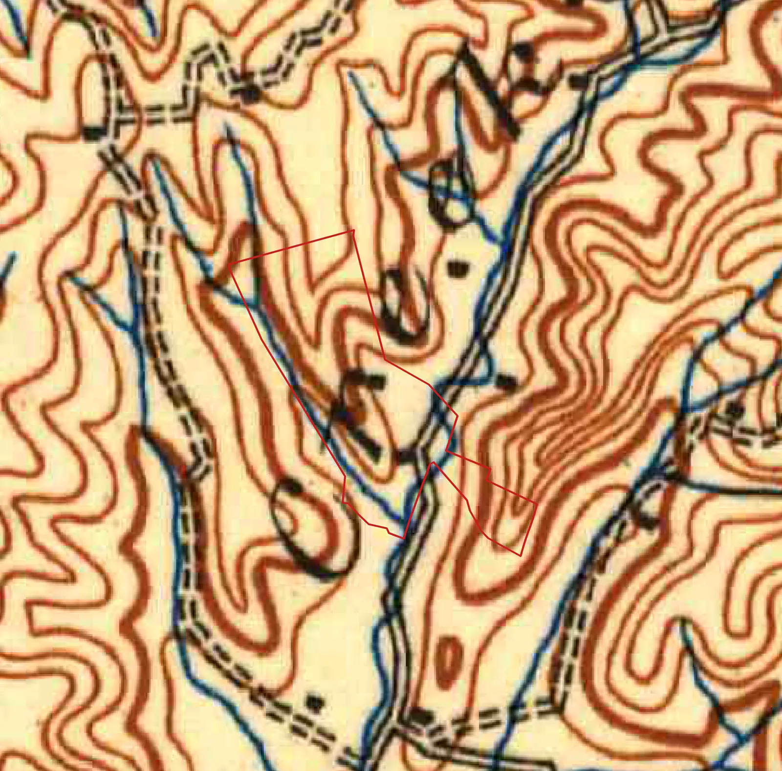
  • Columbia, Tenn. 1:125,000 quadrangle (detail, parcel outline added)

    Columbia, Tenn. 1:125,000 quadrangle (detail, parcel outline added)

    Date
    1901
    Creator
    U.S. Geological Survey
    ID
    TN_Columbia_149582_1901_125000
    License
    Public domain (U.S. federal government work)
    Source
    prd-tnm.s3.amazonaws.com

    Reprojected from polyconic (Clarke 1866, NAD27) into the site's map box, cropped, and parcel outline added by Pyxl Design. Parcel from TN Comptroller parcel layer; fit within about 10-20 m. Enlarged well past its printed scale, so it looks soft.
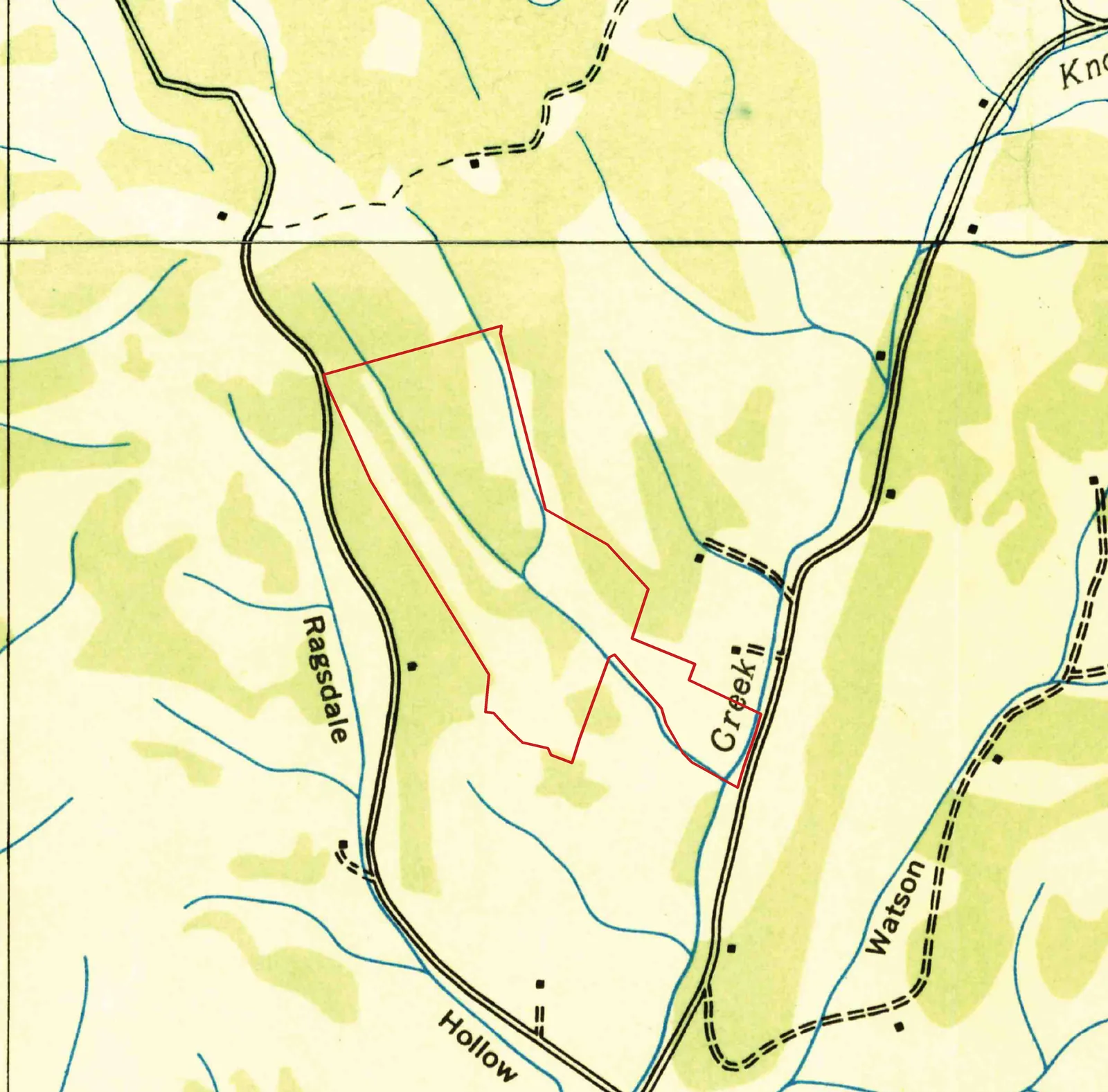
  • Godwin and Theta, Tenn. 7.5-minute quadrangles (detail, parcel outline added)

    Godwin and Theta, Tenn. 7.5-minute quadrangles (detail, parcel outline added)

    Date
    1936
    Creator
    Tennessee Valley Authority, Maps and Surveys Division; scans by U.S. Geological Survey
    ID
    TN_Godwin_149735_1936_24000; TN_Theta_155913_1936_24000
    License
    Public domain (U.S. federal government work)
    Source
    prd-tnm.s3.amazonaws.com

    Reprojected from polyconic (Clarke 1866, NAD27) into the site's map box, cropped, and parcel outline added by Pyxl Design. Parcel from TN Comptroller parcel layer; fit within about 10-20 m. Theta sheet: https://prd-tnm.s3.amazonaws.com/StagedProducts/Maps/HistoricalTopo/PDF/TN/24000/TN_Theta_155913_1936_24000_geo.pdf
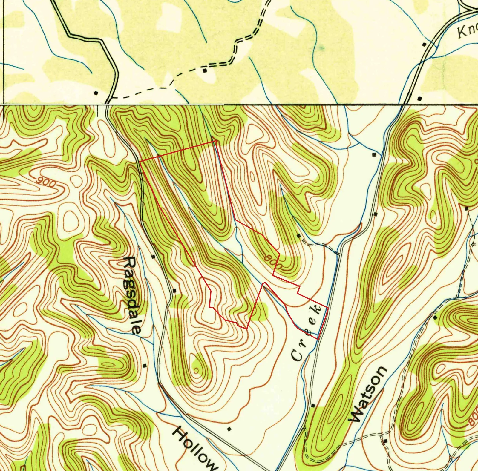
  • Godwin, Tenn. 7.5-minute quadrangle, 1940 edition (detail, parcel outline added)

    Godwin, Tenn. 7.5-minute quadrangle, 1940 edition (detail, parcel outline added)

    Date
    1940
    Creator
    Tennessee Valley Authority / U.S. Geological Survey
    ID
    TN_Godwin_149733_1940_24000; north strip TN_Theta_155913_1936_24000
    License
    Public domain (U.S. federal government work)
    Source
    prd-tnm.s3.amazonaws.com

    Reprojected from polyconic (Clarke 1866, NAD27) into the site's map box, cropped, and parcel outline added by Pyxl Design. Parcel from TN Comptroller parcel layer; fit within about 10-20 m. The strip north of latitude 35.75 is from the 1936 Theta sheet.
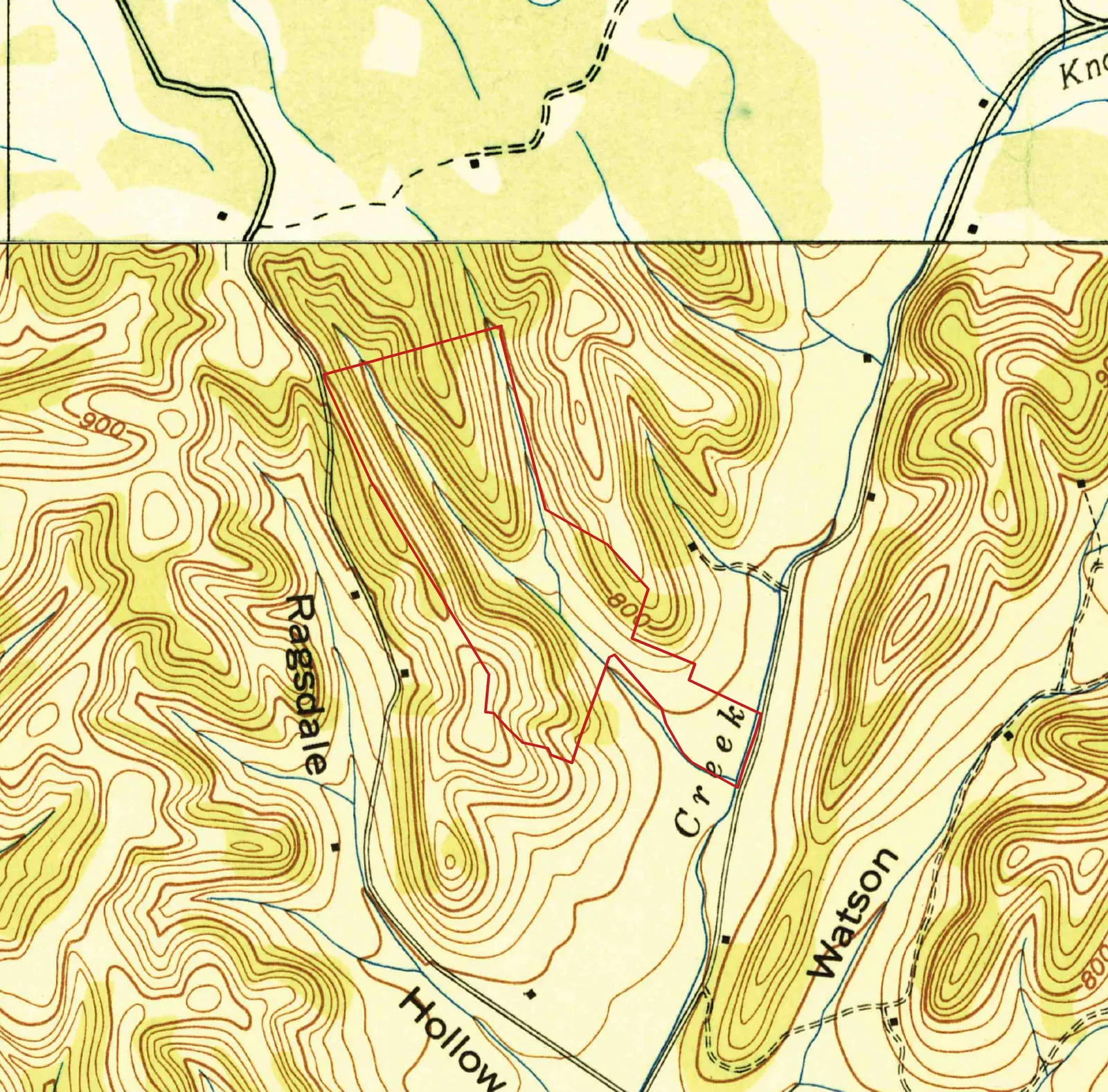
  • Godwin, Tenn. 7.5-minute quadrangle, 1941 edition (detail, parcel outline added)

    Godwin, Tenn. 7.5-minute quadrangle, 1941 edition (detail, parcel outline added)

    Date
    1941
    Creator
    Tennessee Valley Authority / U.S. Geological Survey
    ID
    TN_Godwin_149734_1941_24000; north strip TN_Theta_155913_1936_24000
    License
    Public domain (U.S. federal government work)
    Source
    prd-tnm.s3.amazonaws.com

    Reprojected from polyconic (Clarke 1866, NAD27) into the site's map box, cropped, and parcel outline added by Pyxl Design. Parcel from TN Comptroller parcel layer; fit within about 10-20 m. The strip north of latitude 35.75 is from the 1936 Theta sheet.
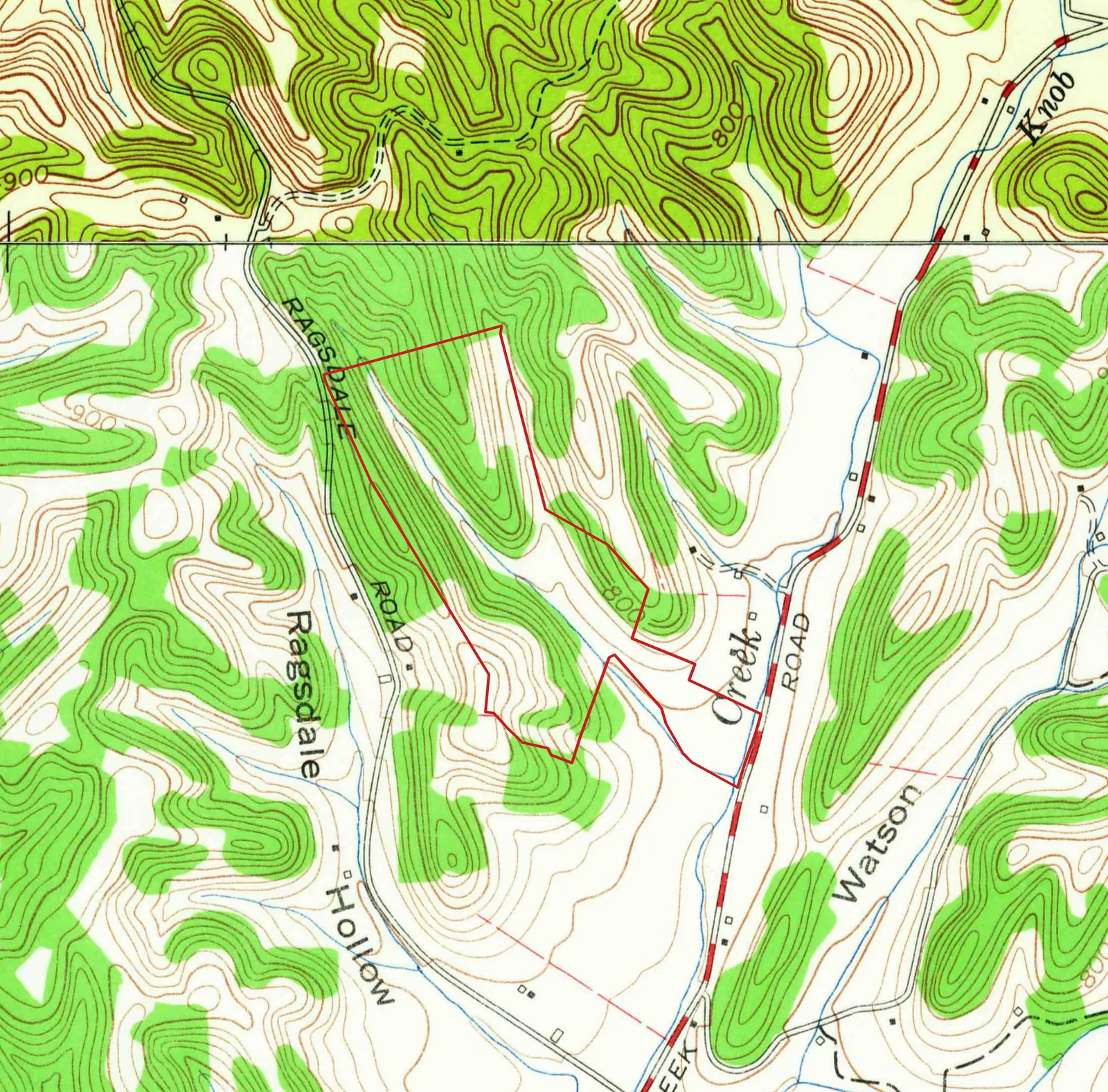
  • Godwin, Tenn. 7.5-minute quadrangle, 1965 (detail, parcel outline added)

    Godwin, Tenn. 7.5-minute quadrangle, 1965 (detail, parcel outline added)

    Date
    1965 (aerial photos 1964, printed 1967)
    Creator
    U.S. Geological Survey / Tennessee Valley Authority
    ID
    TN_Godwin_149732_1965_24000; north strip TN_Theta_155914_1951_24000
    License
    Public domain (U.S. federal government work)
    Source
    prd-tnm.s3.amazonaws.com

    Reprojected from polyconic (Clarke 1866, NAD27) into the site's map box, cropped, and parcel outline added by Pyxl Design. Parcel from TN Comptroller parcel layer; fit within about 10-20 m. The strip north of latitude 35.75 is from the 1951 Theta sheet (aerial photos 1948, printed 1957).
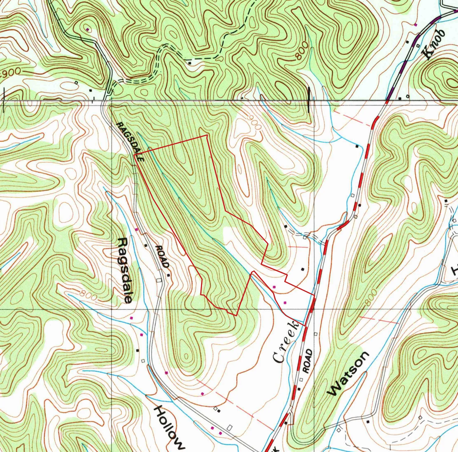
  • Godwin, Tenn. 7.5-minute quadrangle, 1965 photorevised 1988 (detail, parcel outline added)

    Godwin, Tenn. 7.5-minute quadrangle, 1965 photorevised 1988 (detail, parcel outline added)

    Date
    1988 (aerial photos 1981, printed 1989)
    Creator
    U.S. Geological Survey / Tennessee Valley Authority
    ID
    TN_Godwin_143935_1965_24000; north strip TN_Theta_155918_1951_24000
    License
    Public domain (U.S. federal government work)
    Source
    prd-tnm.s3.amazonaws.com

    Reprojected from polyconic (Clarke 1866, NAD27) into the site's map box, cropped, and parcel outline added by Pyxl Design. Parcel from TN Comptroller parcel layer; fit within about 10-20 m. The strip north of latitude 35.75 is from the Theta 1951 sheet photorevised 1979 (printed 1984).

USGS Imagery Only basemap (NAIP-derived) 1
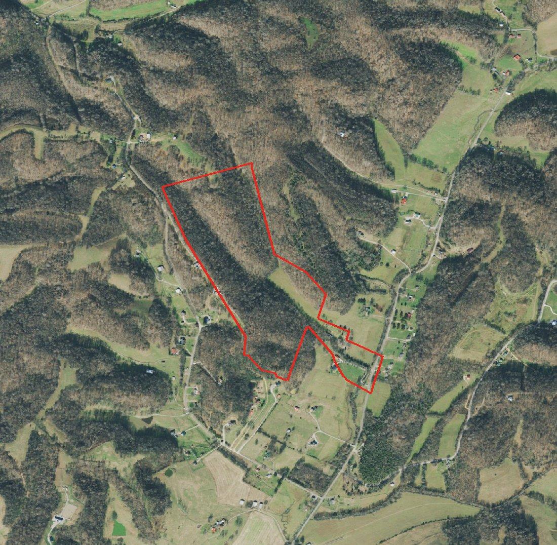
  • Orthoimagery of the Knob Creek Road tract (parcel outline added)

    Orthoimagery of the Knob Creek Road tract (parcel outline added)

    Date
    2021-12-12
    Creator
    U.S. Geological Survey, The National Map
    ID
    bbox -87.0835,35.7345,-87.0585,35.7545
    License
    Public domain (U.S. federal government work)
    Source
    basemap.nationalmap.gov

    Cropped and parcel boundary overlaid by Pyxl Design. At this spot the basemap shows the USDA NAIP frame m_3508724_nw_16_060_20211212, taken December 12, 2021 (leaf-off). Superseded on the map by land/aerial-2021-naip.webp.

USGS NAIP Imagery service (The National Map) 1
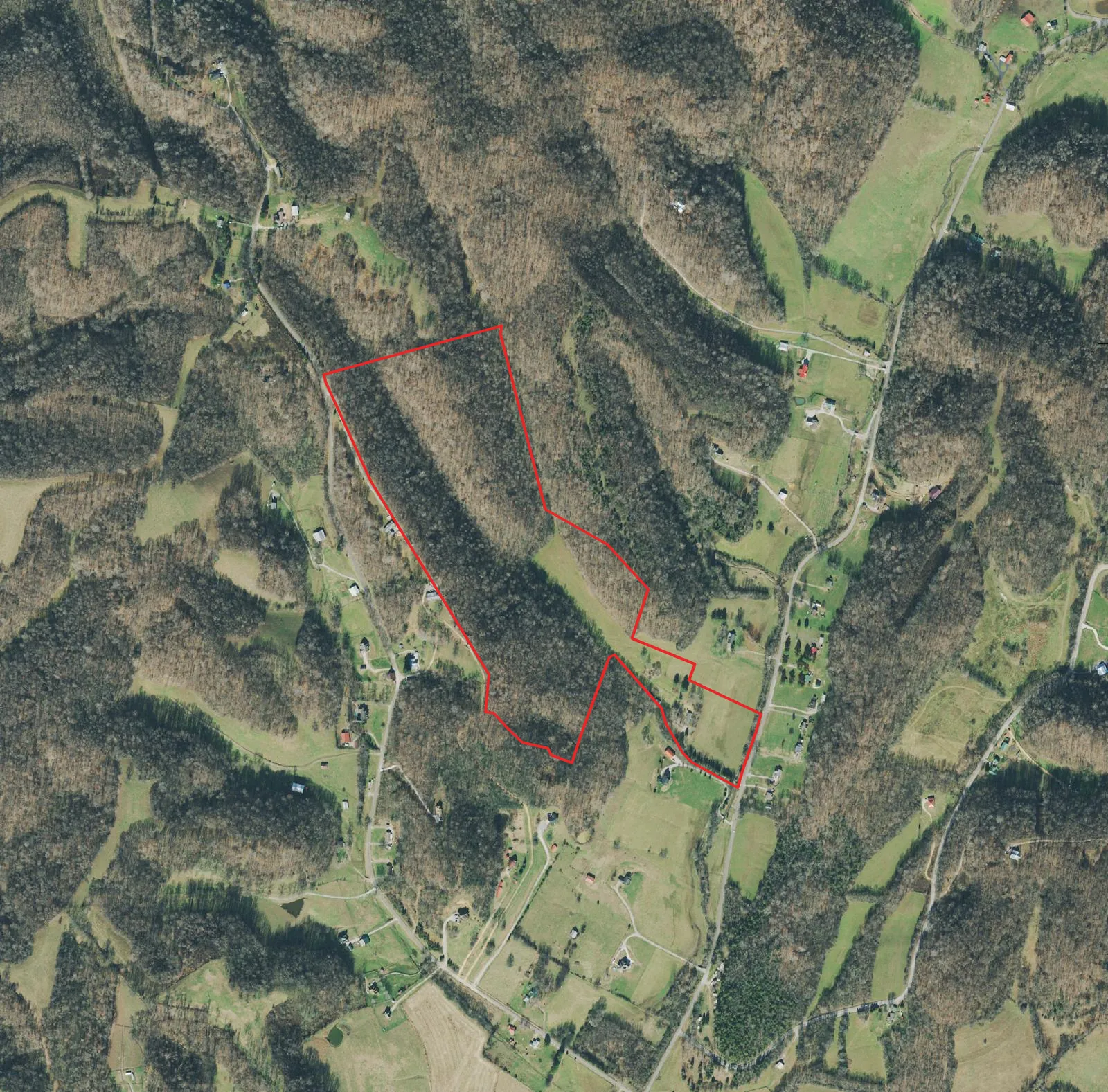
  • Aerial photo of the Knob Creek Road tract (parcel outline added)

    Aerial photo of the Knob Creek Road tract (parcel outline added)

    Date
    2021-12-12
    Creator
    USDA Farm Service Agency, National Agriculture Imagery Program (NAIP); served by U.S. Geological Survey
    ID
    m_3508724_nw_16_060_20211212
    License
    Public domain (U.S. federal government work)
    Source
    imagery.nationalmap.gov

    Exported for the site's map box in Web Mercator, parcel outline added by Pyxl Design. 0.6 m resolution, leaf-off.

Wikimedia Commons 3
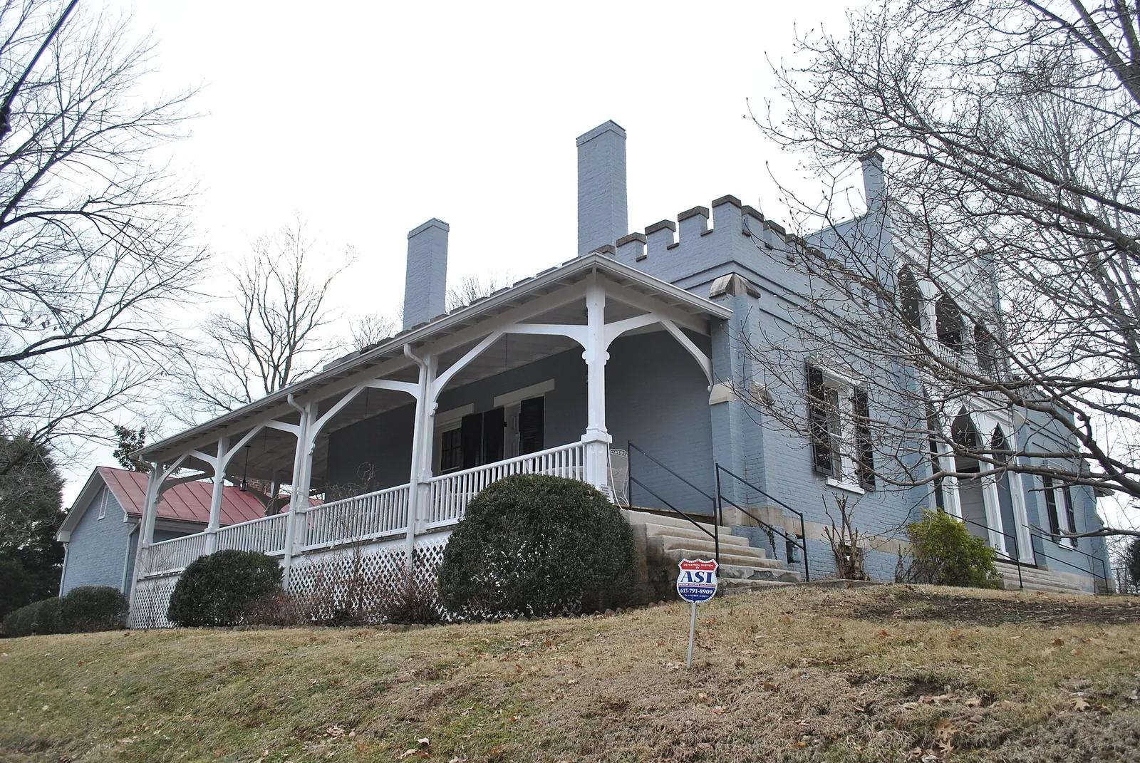
  • The Athenaeum Rectory, 808 Athenaeum Street, Columbia

    The Athenaeum Rectory, 808 Athenaeum Street, Columbia

    Date
    2011-01-30
    Creator
    Www78
    ID
    File:Athenaeum Columbia.JPG
    License
    CC BY-SA 3.0 (https://creativecommons.org/licenses/by-sa/3.0)
    Source
    commons.wikimedia.org

    Downloaded from Wikimedia Commons, resized to 1600 px wide and converted to WebP by Pyxl Design.
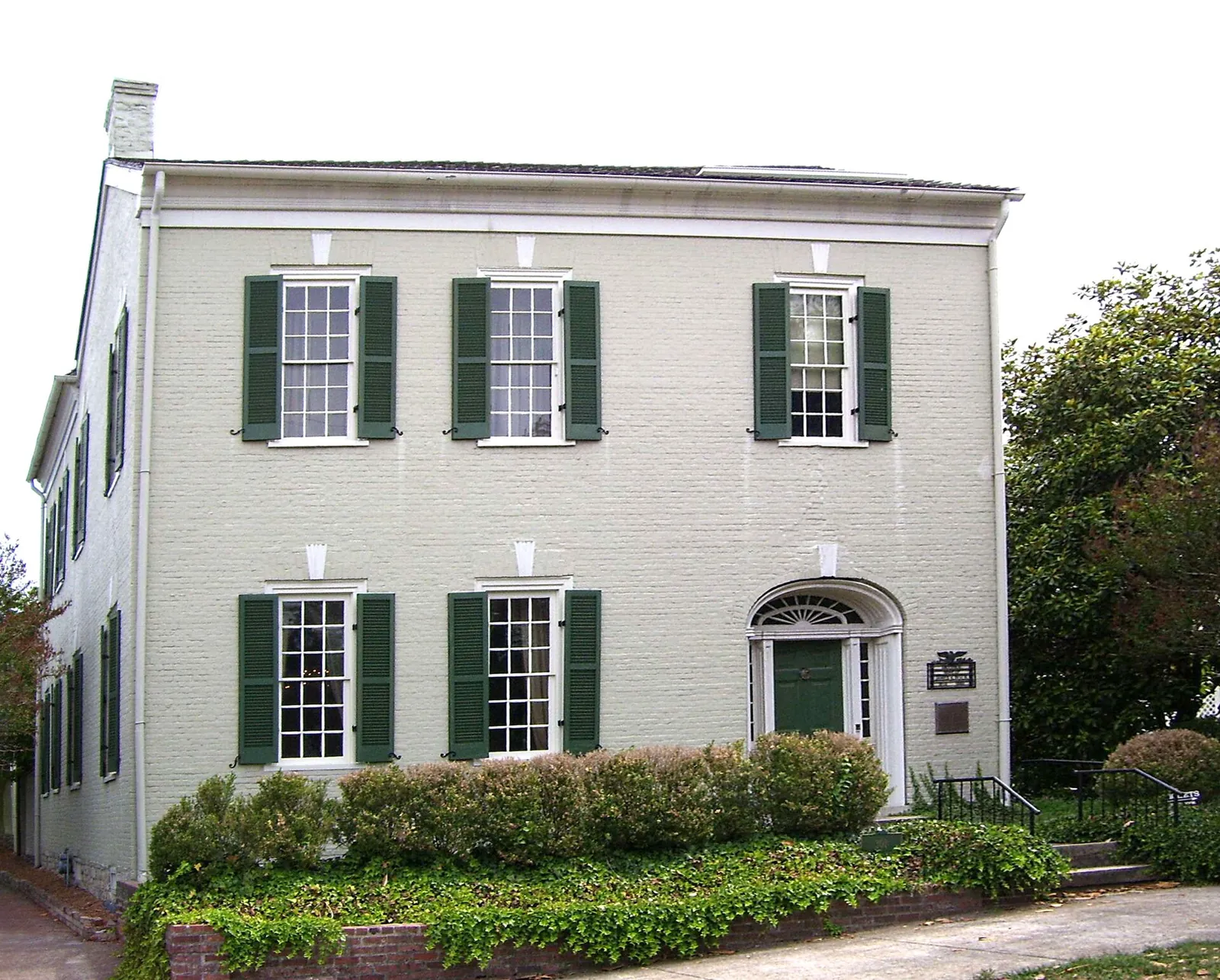
  • James K. Polk Home, Columbia

    James K. Polk Home, Columbia

    Date
    2011
    Creator
    ProhibitOnions at English Wikipedia
    ID
    File:JamesKPolkHome.jpg
    License
    CC BY-SA 3.0 (http://creativecommons.org/licenses/by-sa/3.0/)
    Source
    commons.wikimedia.org

    Downloaded from Wikimedia Commons, resized to 1600 px wide and converted to WebP by Pyxl Design.
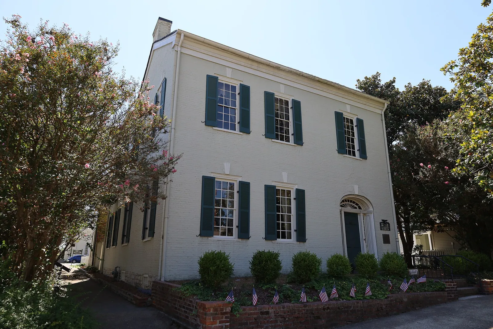
  • James K. Polk Home, West 7th Street, Columbia

    James K. Polk Home, West 7th Street, Columbia

    Date
    2025-09-13
    Creator
    Antony-22
    ID
    File:James K. Polk Home 2025a.jpg
    License
    CC BY-SA 4.0 (https://creativecommons.org/licenses/by-sa/4.0)
    Source
    commons.wikimedia.org

    Downloaded from Wikimedia Commons, resized to 1600 px wide and converted to WebP by Pyxl Design.