Chapter 08 of 091960 to 2026
Franklin's boom
Franklin was a county seat of under 7,000 people in 1960. The interstate, a shopping mall and corporate headquarters made it one of the fastest-growing cities in the country, and the growth is now rolling south into Spring Hill and Columbia.
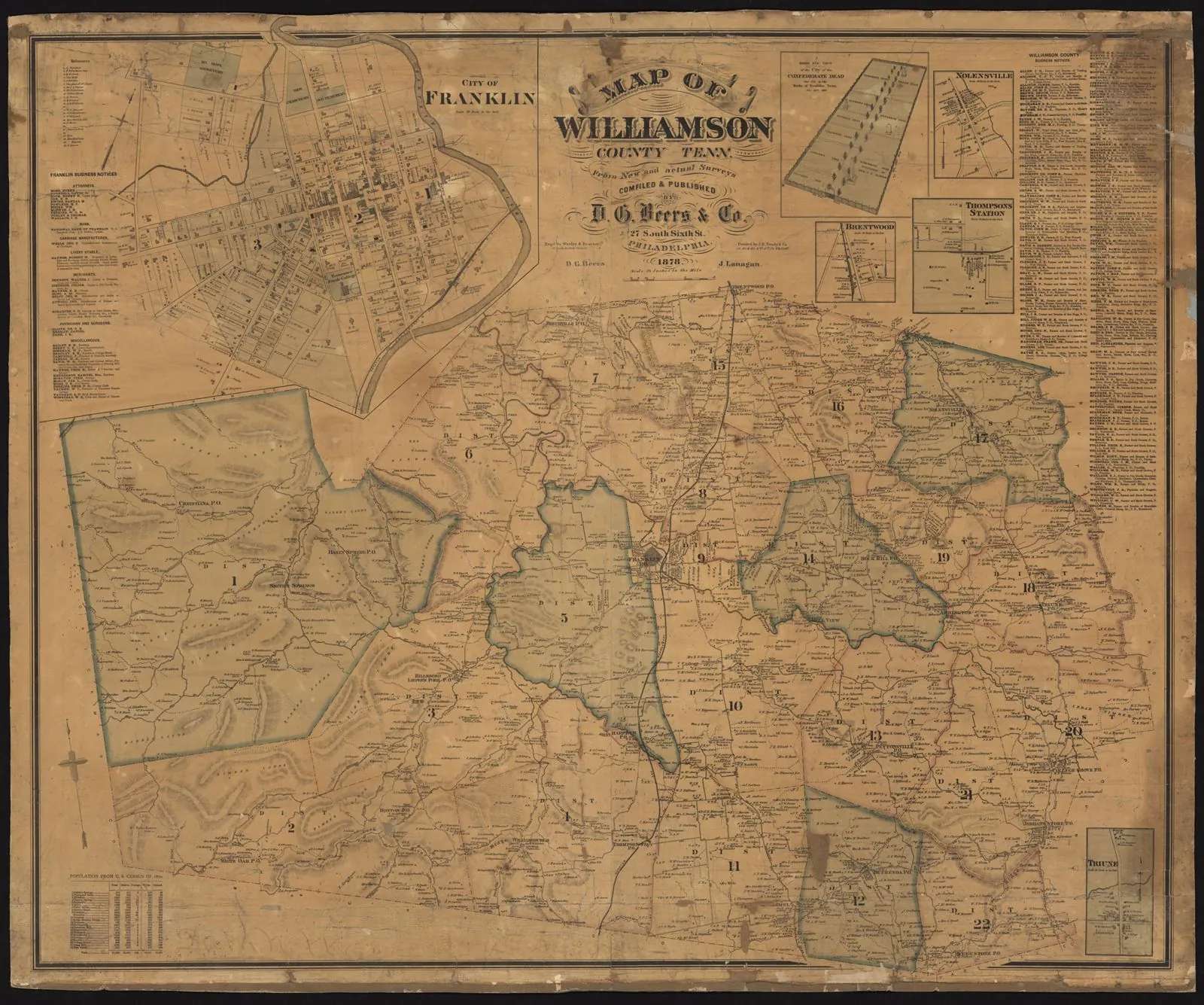
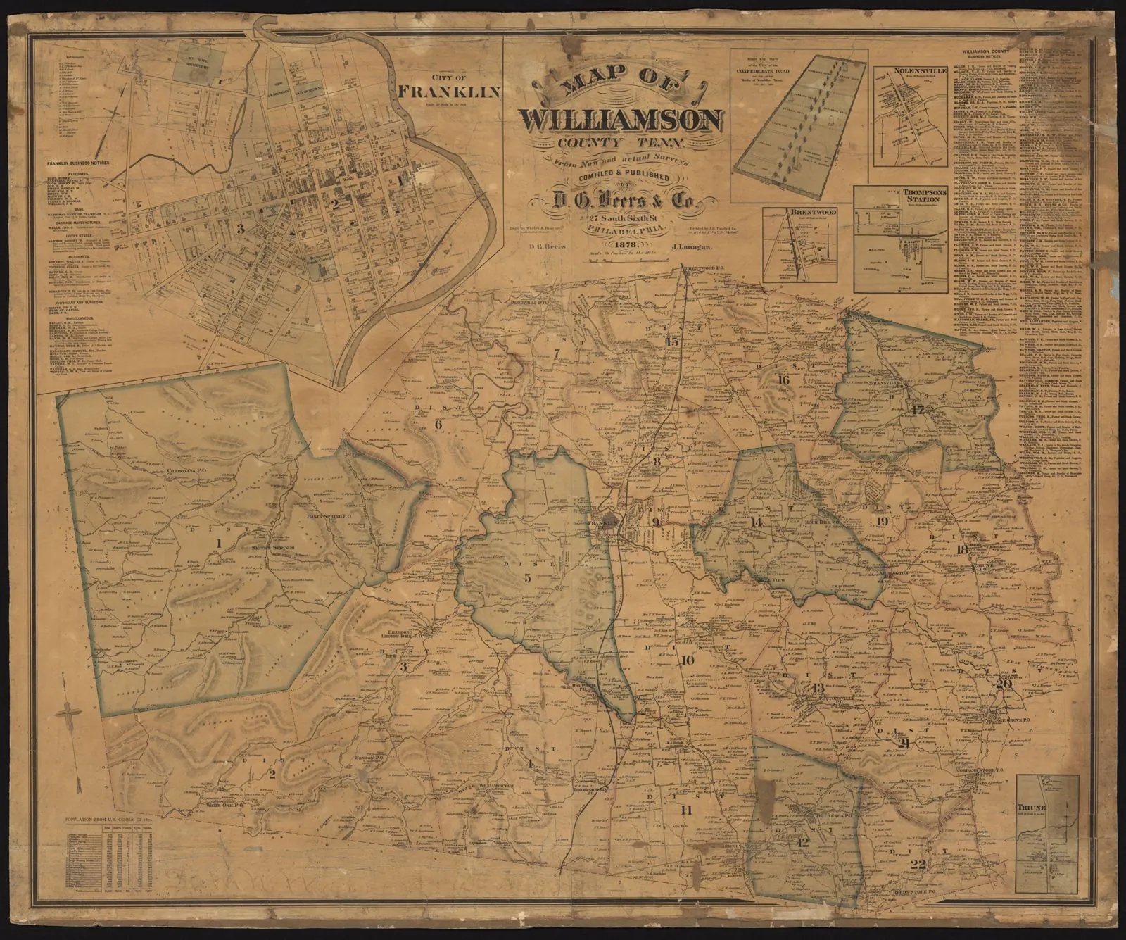
Williamson County, Tennessee, 1878. Unknown · Tennessee State Library and Archives, Map Collection (TeVA) · 1878 · No copyright - United States (rightsstatements.org NoC-US, as assigned by TSLA)
In 1960 Franklin was what it had been for a century and a half: the county seat of a farming county, with a courthouse square, a Main Street of brick storefronts, and a population of 6,977. Williamson County as a whole had about 25,000 people, fewer than it had in 1850. Columbia, with 17,624, was more than twice Franklin's size.
Williamson and Maury counties, 1900 to 2025
Show the numbers
| Year | Williamson County | Maury County |
|---|---|---|
| 1900 | 26,429 | 42,703 |
| 1910 | 24,213 | 40,456 |
| 1920 | 23,409 | 35,403 |
| 1930 | 22,845 | 34,016 |
| 1940 | 25,220 | 40,357 |
| 1950 | 24,307 | 40,368 |
| 1960 | 25,267 | 41,699 |
| 1970 | 34,330 | 43,376 |
| 1980 | 58,108 | 51,095 |
| 1990 | 81,021 | 54,812 |
| 2000 | 126,638 | 69,498 |
| 2010 | 183,182 | 80,956 |
| 2020 | 247,726 | 100,974 |
| 2025 | 272,061 | 118,131 |
Then the road came. Interstate 65 reached Williamson County in the late 1960s, and the Highway 96 interchange at Franklin opened in 1969. Nashville was suddenly a short drive away. Families who worked in the city began buying land in the county, and farms along the interstate turned into subdivisions. Franklin had 12,407 people in 1980, 20,098 in 1990, and 41,842 in 2000.
Franklin, Columbia and Spring Hill, 1900 to 2025
Show the numbers
| Year | Franklin (city) | Columbia (city) | Spring Hill (city, Maury and Williamson) |
|---|---|---|---|
| 1900 | 2,180 | 6,052 | - |
| 1910 | 2,924 | 5,754 | 695 |
| 1920 | 3,123 | 5,526 | 403 |
| 1930 | 3,377 | 7,882 | 416 |
| 1940 | 4,120 | 10,579 | 543 |
| 1950 | 5,475 | 10,911 | 541 |
| 1960 | 6,977 | 17,624 | 689 |
| 1970 | 9,497 | 21,471 | 685 |
| 1980 | 12,407 | 26,571 | 989 |
| 1990 | 20,098 | 28,583 | 1,464 |
| 2000 | 41,842 | 33,055 | 7,715 |
| 2010 | 62,487 | 34,681 | 29,036 |
| 2020 | 83,454 | 41,690 | 50,005 |
| 2025 | 90,226 | 50,072 | 61,336 |
Saving the old town
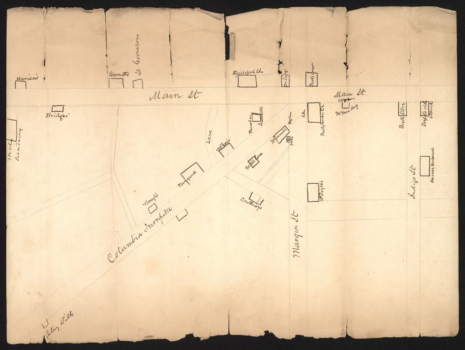
Franklin did something many fast-growing places did not: it decided early to keep its past. The Heritage Foundation of Williamson County formed in 1967. In 1972 the original sixteen-block town plat, laid out around 1800 by Abram Maury, the same man Maury County is named for, was listed on the National Register as the Franklin Historic District. Main Street stayed a main street, with shops and offices in buildings that had stood since the 1800s.
The Franklin Theatre, built in 1937, closed in 2007. The Heritage Foundation raised about $8 million to restore it, and it reopened in 2011. The square, with its Confederate monument and the iron fence the Masons put up in 1868, is also where the town has added markers telling the fuller story of Franklin, including the 1867 riot and the lives of the enslaved people who once worked the farms around it.
Cool Springs
East of the old town, along the interstate, a different Franklin grew. CoolSprings Galleria opened on August 7, 1991, and around it came office parks, hotels and chain stores. Corporate headquarters followed. Nissan North America announced in 2005 that it would move its headquarters from California to Tennessee, and settled in Franklin around 2008. Williamson County grew 56 percent in the 1990s alone, to 126,638 people in 2000, and reached 247,726 in 2020.
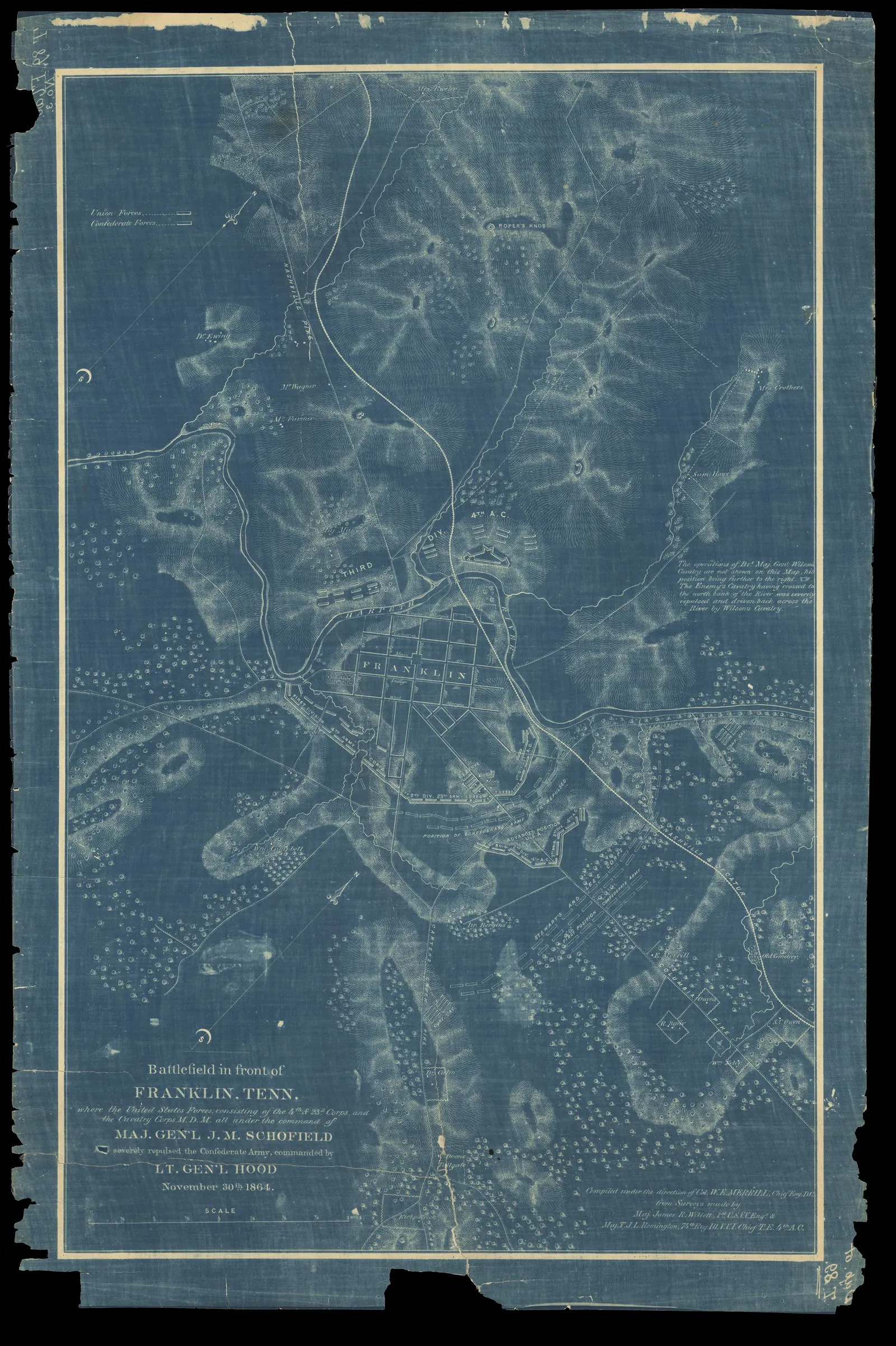
The growth ran right over the battlefield of 1864. By the 1990s, the ground where Hood's army had attacked was covered by houses, a strip mall and a Pizza Hut. Starting in 1996, local groups working with the American Battlefield Trust began buying it back. They bought Roper's Knob in 1996, then the site of the Carter cotton gin, then farmland near Carnton. In 2005 the Pizza Hut on the spot where Patrick Cleburne fell was torn down. In all, the Trust has helped preserve about 182 acres, and the work continued into 2025.
The wave rolls south
Franklin passed Columbia in population in the 1990s. By 2025 the Census Bureau estimated Franklin at 90,226 people. Williamson County was estimated at 272,061, more than ten times its size in 1960.
The growth did not stop at the county line. Spring Hill, home of the Saturn plant, grew from 7,715 people in 2000 to 50,005 in 2020, and passed Columbia along the way. The old plant now builds Cadillacs, including electric ones, with a battery plant next door.
Columbia is growing again too, after decades of slow change. A special census in 2024 counted 48,885 people, up about 17 percent in four years, and the 2025 estimate put the city at 50,072. Maury County passed 100,000 people in 2020 and was estimated at 118,131 in 2025.
Downtown Columbia looks more like it did in 1939 than it has in decades. The Columbia Main Street program, one of the first in Tennessee, has worked on the square since the 1980s. Mule Day, revived in 1974, now runs for several days each April and draws more than 200,000 visitors to the town that once sold mules to the whole South.
For the farm on Knob Creek, this is the newest change. The pull of Nashville that remade Franklin in the 1980s is now reaching the hollows north of Columbia.
- 1799Williamson County is created. Abram Maury lays out Franklin and names it for Benjamin Franklin.
- 1960Franklin has 6,977 people.
- 1967The Heritage Foundation of Williamson County is founded.
- 1969I-65's Highway 96 interchange at Franklin opens.
- 1972The Franklin Historic District is listed on the National Register.
- 1991CoolSprings Galleria opens on August 7.
- 1996Preservationists buy Roper's Knob, the first of many battlefield tracts reclaimed.
- 2005The Pizza Hut on the spot where Cleburne fell is torn down.
- 2006Nissan North America moves its headquarters to Tennessee, settling in Franklin about two years later.
- 2011The restored Franklin Theatre reopens on June 3.
- 2020Franklin counts 83,454 people; Williamson County 247,726.
- 2024A special census counts 48,885 people in Columbia.
- 2025Estimates: Franklin 90,226, Spring Hill 61,336, Columbia 50,072, Maury County 118,131.